Page 1 of 2

Annual trip into BC for 2012

Posted: Thu Aug 30, 2012 11:28 pm
by Suzsmokeyallan
It was that time of year again for the annual touring ride into British Columbia from Alberta which went off well without any issues.
Approximately 12 people showed up for the initial three day part, with Uncle Rick and myself leaving them for our extended journey onto Vancouver island, and a third attempt to see Long Beach without the fog issues that have plagued the last two years attempts.
Eight days on the road for us with the two 1200 Bandits and camping made for some fun times with memories caught in the following photos I've selected.

The first days events: Leaving the south of Calgary on Mcleod trail, then switching onto the No2 Hwy we head towards Nanton. From there we go across to Chain Lakes and then head south on Hwy 22. Once onto Hwy 3, the Crows Nest Hwy its into BC and finally ending up at Kitchener in the evening.
Image
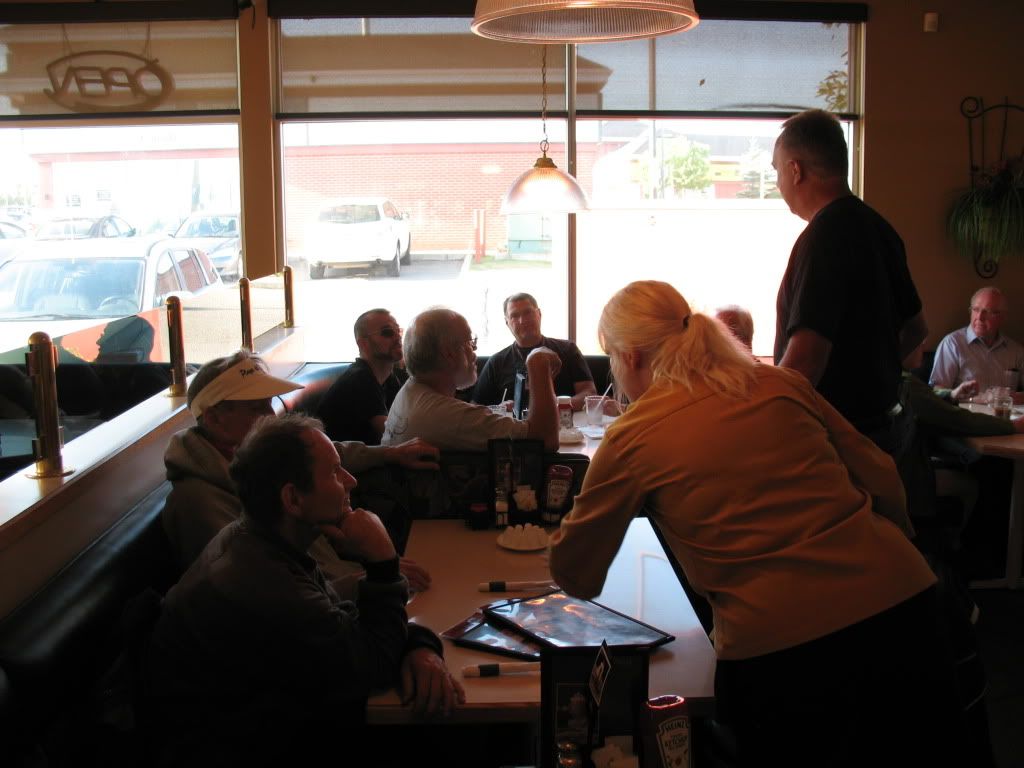
Some of us in the restaurant for the breakfast and assembly point.
Image
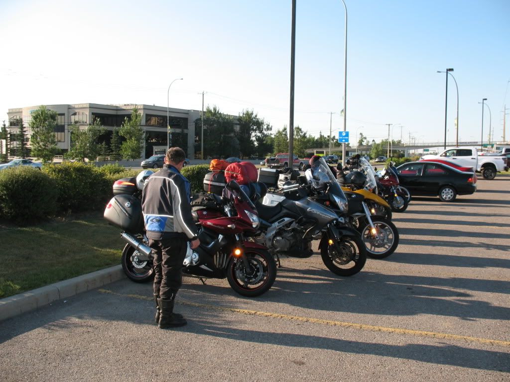
Bikes lined up outside in the parking lot.
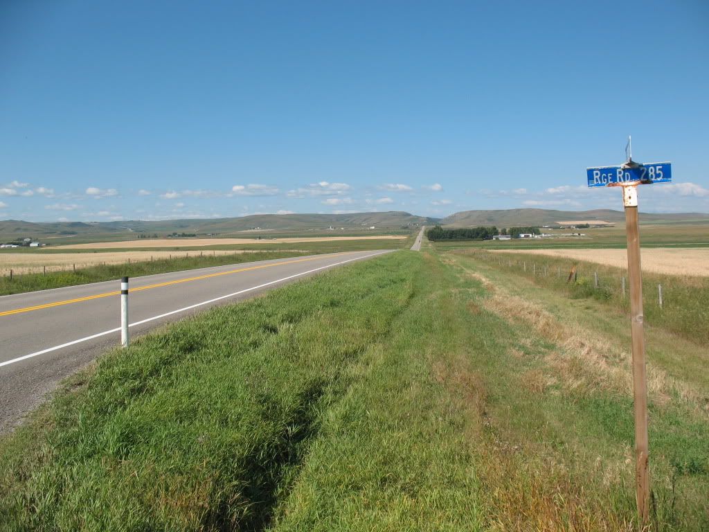
Image
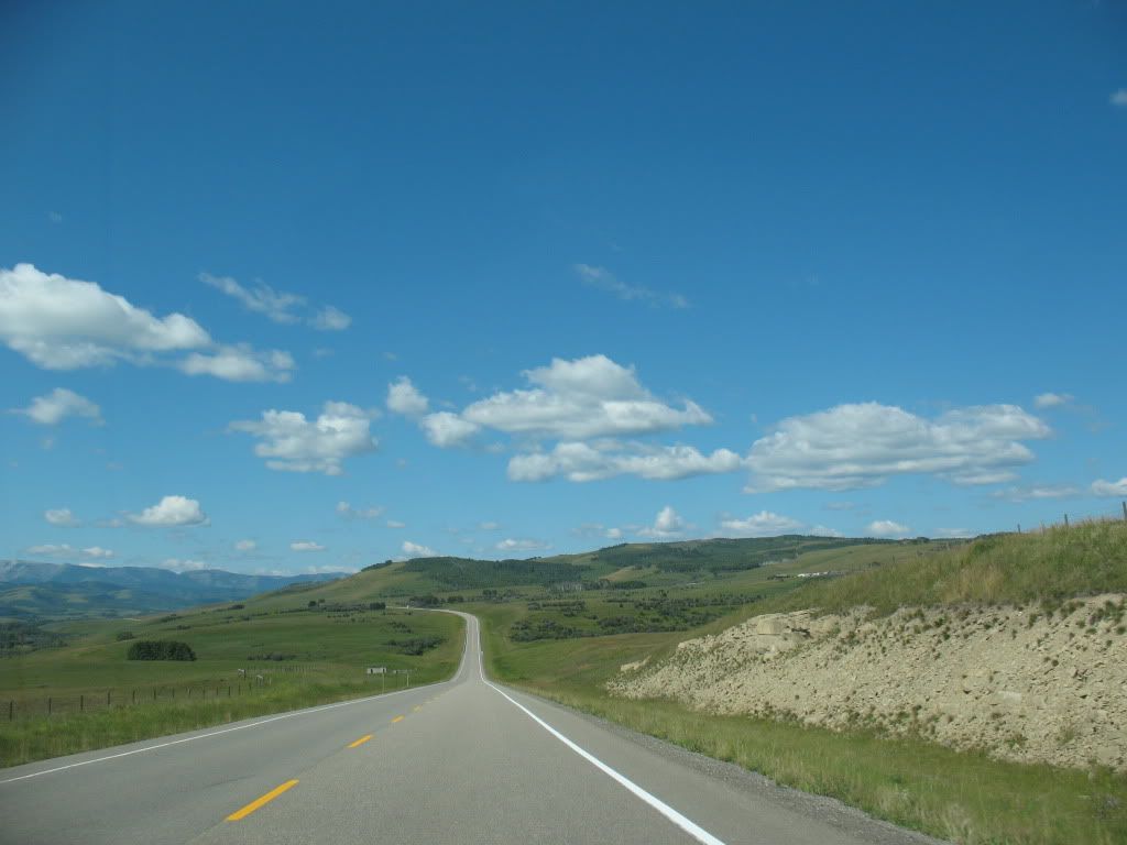
A typical road view just west of Nanton.
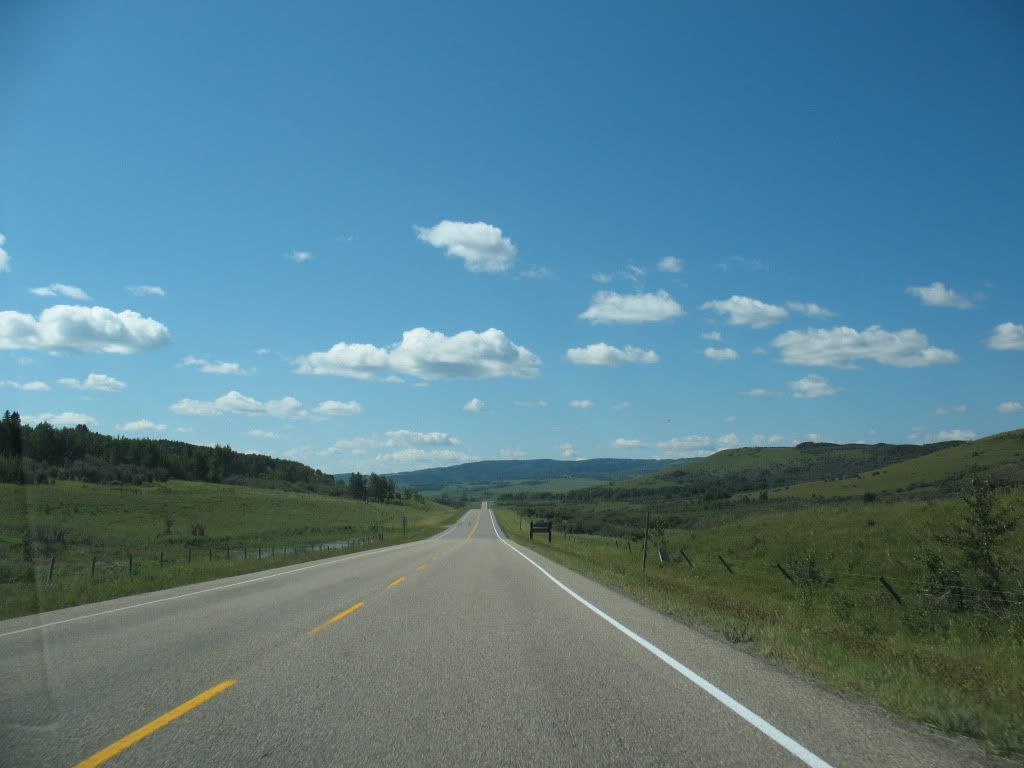
Image
On the way to Hwy 22

Image
More foothills scenery near to Hwy 22
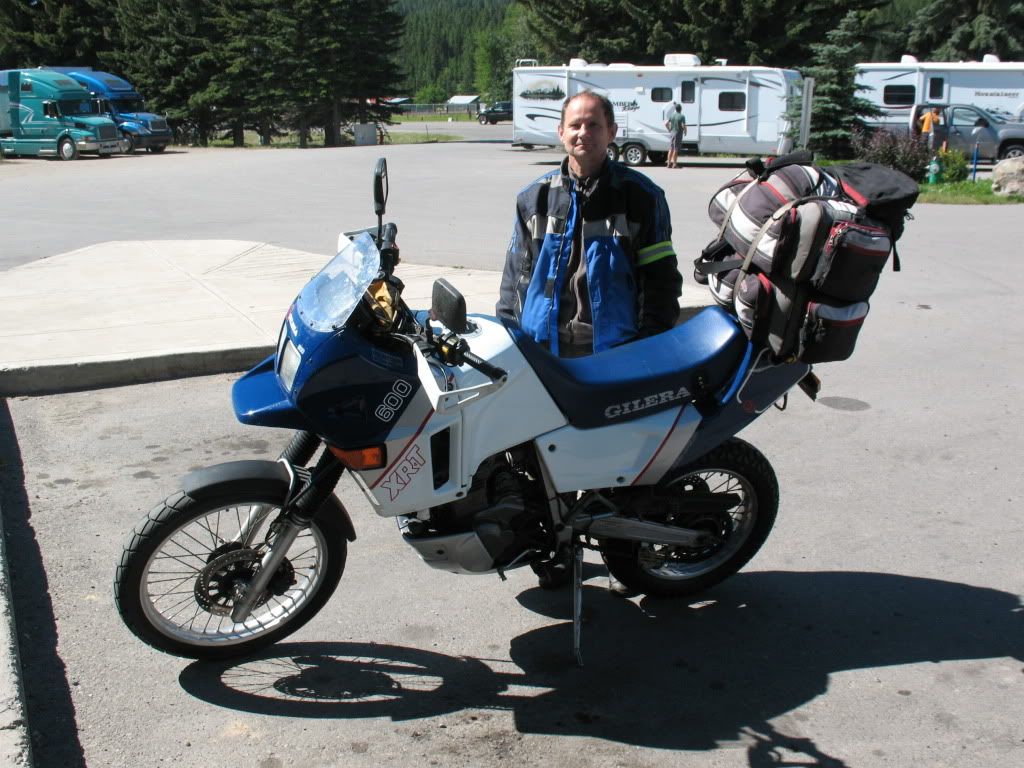
Image
Ted and his Gilera 600, its a rare sight in Canada to see one of these bikes.
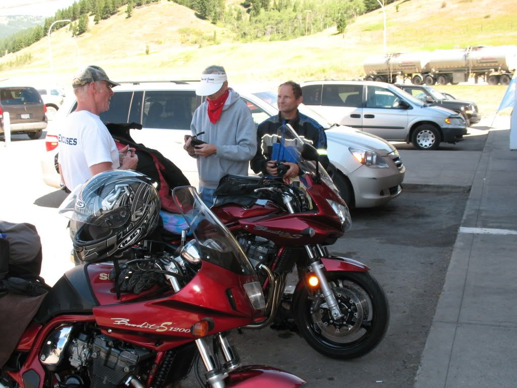
Image
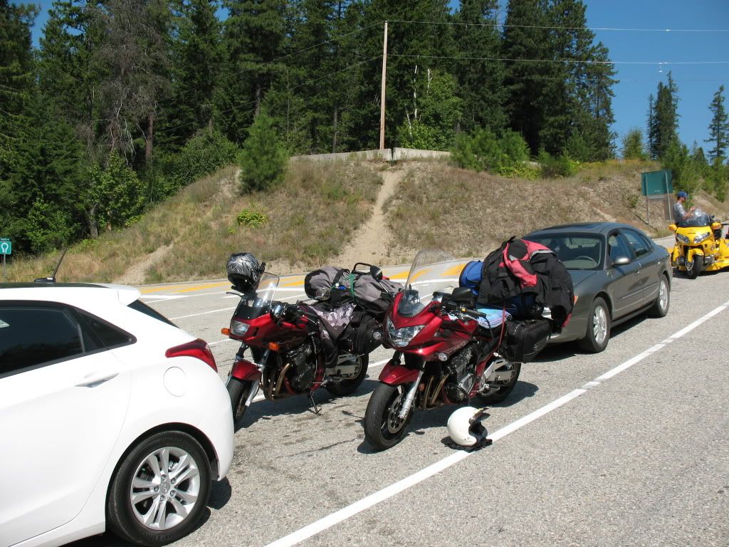
At the Shell station in the Crows Nest Pass for a refueling, Rick,Ted and a passerby discuss bikes of course.
Image
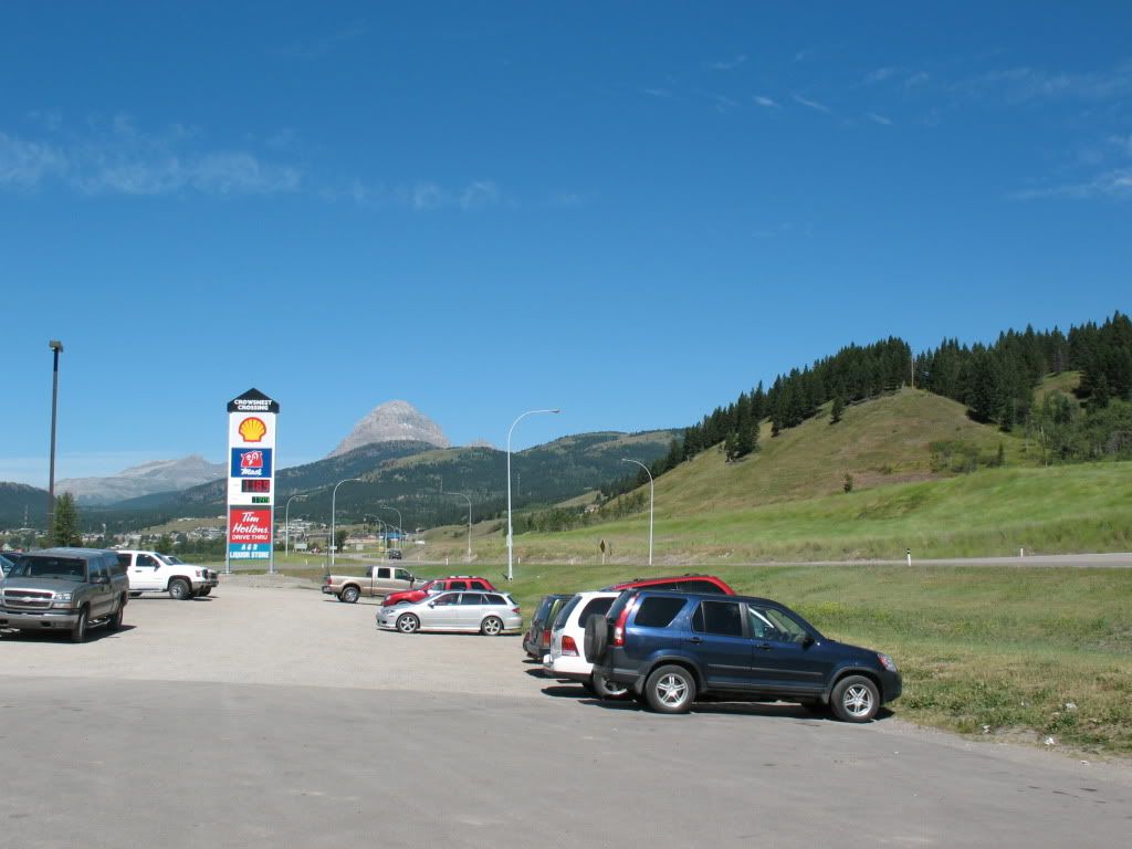
The weather was excellent for riding, the scene shown here is the town of Blairmore in the Crows Nest Pass region looking westwards.
Image
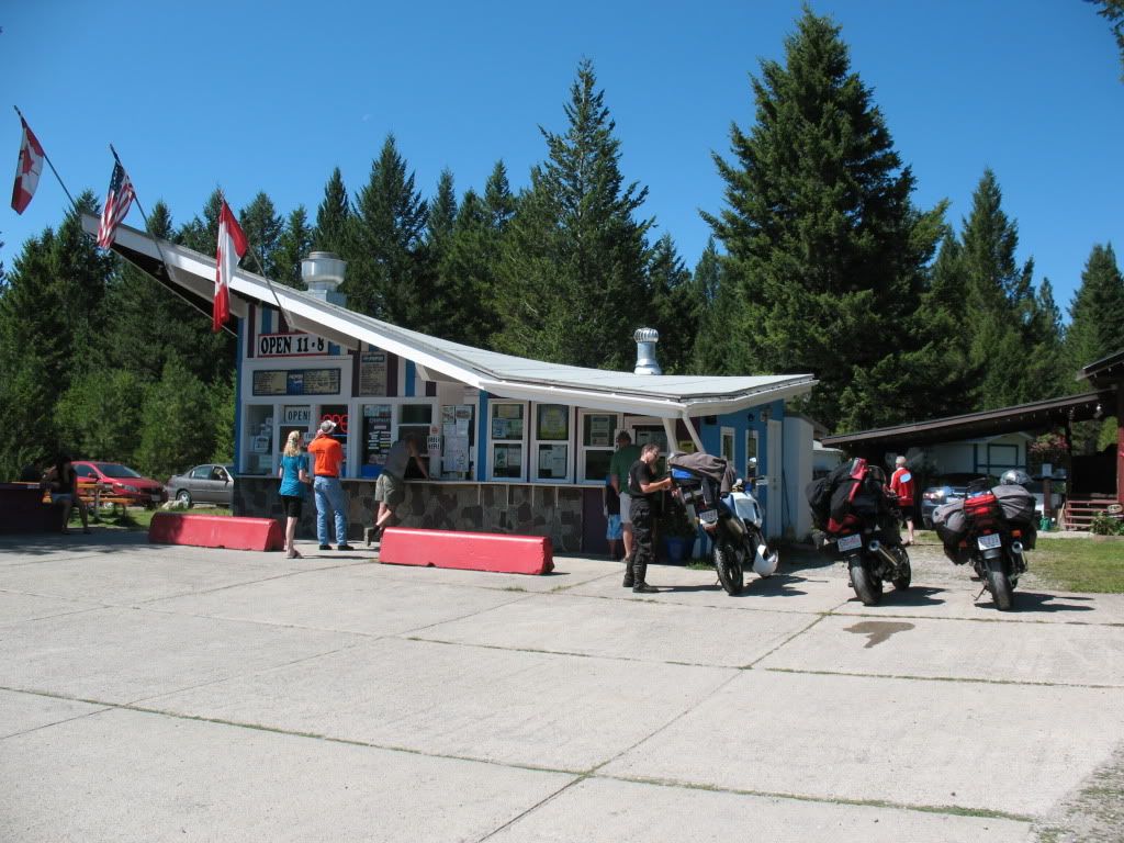
Making a quick pitstop near Elko in BC, Uncle Rick (in the orange shirt) was checking the menu while Ted adjusts his bags.
Image
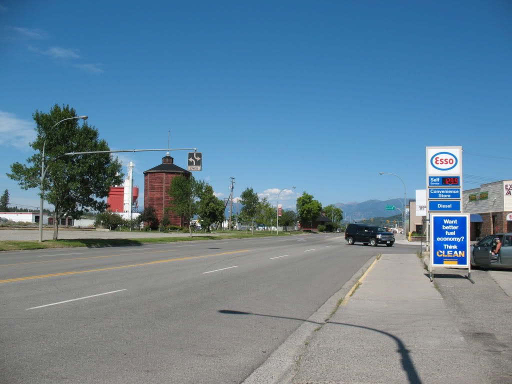
A typical main street scene in the town of Cranbrook looking eastwards.
Image
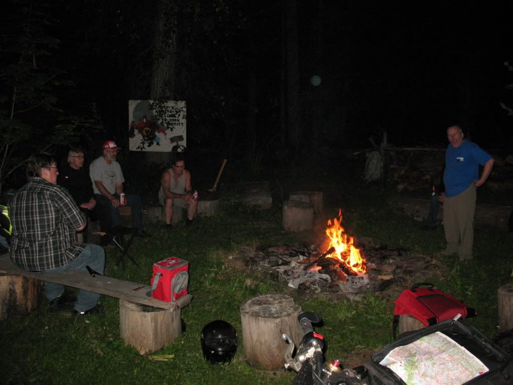
In the Riders Ranch campground after dinner, Kitchener BC
Re: Annual trip into BC for 2012

Posted: Fri Aug 31, 2012 2:25 am
by Suzsmokeyallan
Day two sees Uncle Rick and I breaking off from the regular main group and making our way along the Kootenay lake region north of Creston and the 50 mile trip up to the ferry at the landing. From the landing on the other side of the lake at Balfour we head north towards Ainsworth Hot springs and then into the town of Kaslo.
After a brief stop in Kaslo its off again on the 31A Hwy to Sandon and New Denver. Once there we head south down alongside the Slocan lake region and reach Castlegar. Some refueling in Castlegar and we are into Christina Lake for the campground and the end of day two. We are averaging a little over 300 miles a day and this year we have decided to ride a bit less and stop more often for photo opportunities.


Image
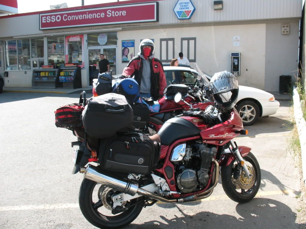
Rick and the bikes at the Esso station in Creston.

Image
A main street view in the town of Creston.

Image
The Creston Flats just north of town.

Image
Kootenay Lake near Boswell.


Image
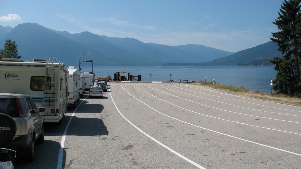
At Kootenay Bay ferry landing.


Image
Bikes in the line waiting.

Image
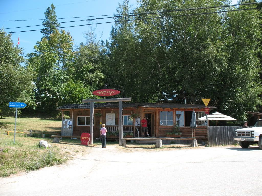
Mojos store at the landing.

Image
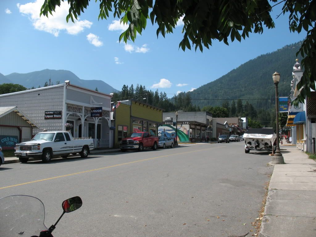
Hotel in Kaslo.

Image
Street scene in Kaslo.

Image
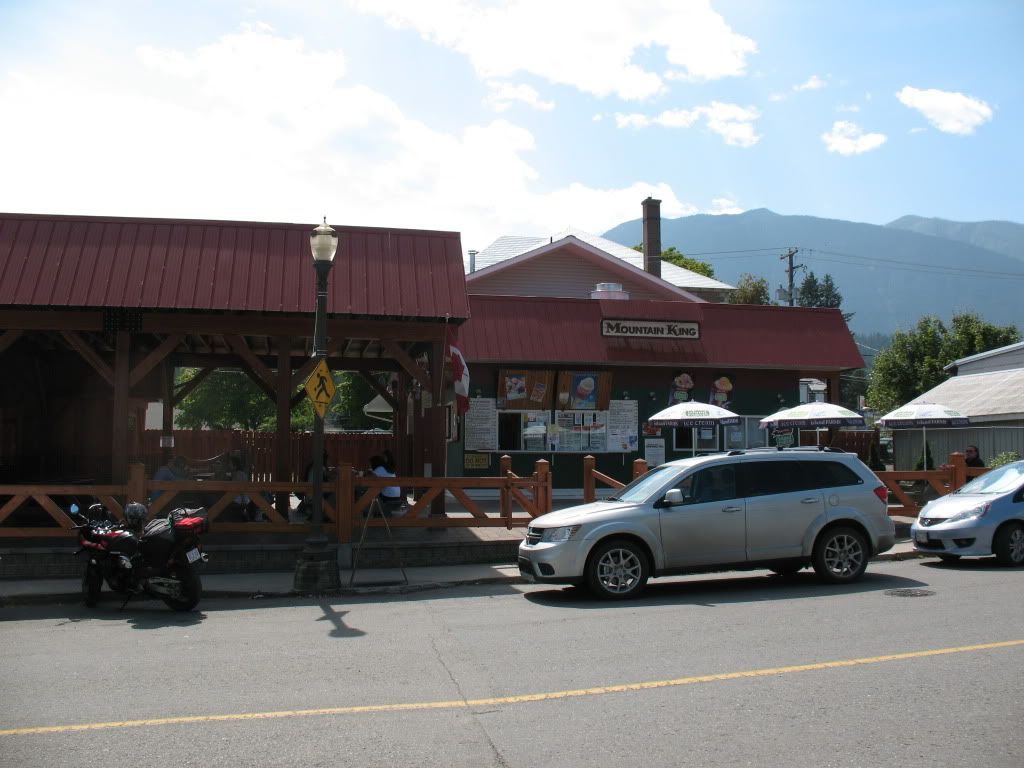
Kaslos local outdoor eatery

Image
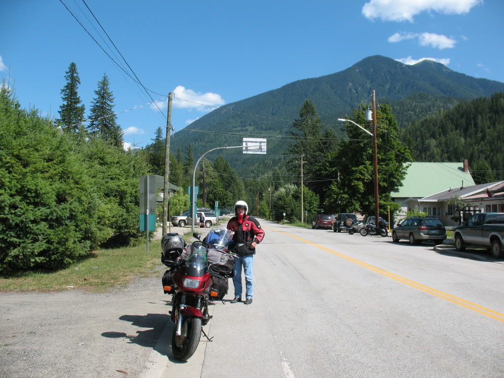
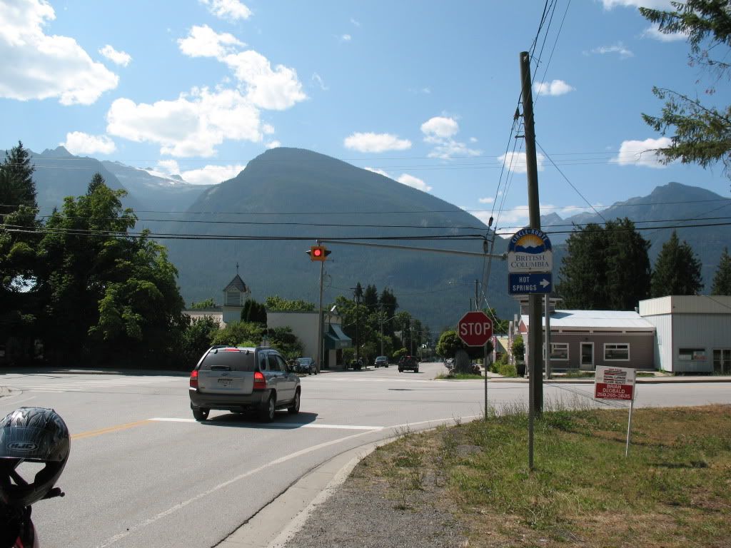
At the road junction in New Denver.

Image
New Denver junction, South to the Slocan lake region or north to the town of Nakusp.

Image
Christina Lakes southern campground entrance and office.

Image
All packed up in the morning at the campground and ready for day three.

Re: Annual trip into BC for 2012

Posted: Fri Aug 31, 2012 4:15 am
by MikeH1A
Now that is what bikes were made for - riding :D Looks like the weather gods were kind to you guys. Must have been a really fun trip. Glad you all made it back safe.

Re: Annual trip into BC for 2012

Posted: Fri Aug 31, 2012 8:32 am
by Fritz500
Really great photos. Looks like you guys had a magic trip.

I didn't see any two strokes...perhaps just an oversight? :ssh:


Cheers

Re: Annual trip into BC for 2012

Posted: Fri Aug 31, 2012 9:39 am
by ArticusMax
Glad you had a good trip! Uncle Rick traveled with us earlier in July to Nakusp and we had a great time until the Rain Gods decided to give us a free 6 hour bike wash from Revelstoke to Calgary. LOL its only water.

Re: Annual trip into BC for 2012

Posted: Fri Aug 31, 2012 10:44 am
by Suzsmokeyallan
Thanks for the comments guys,
Mike you are correct bikes are made to be ridden and we did that to the fullest extent and we never rode on wet road or got wet. I've had my fill of that already on these trips in past years so its time my luck changed.

Fritz there were no two strokes, I was the last person on these rides to use one, but I will probably take the Buffalo next year however the fuel bill is going to be costly.
Riding 2000 miles distance on average with a Buffalo at around $4.50 a gallon will open your eyes and wallet really quickly.

Art, Rick filled me in on the deluge he got coming back on the TCH from the rally in Nakusp, he was not amused one bit.

Re: Annual trip into BC for 2012

Posted: Fri Aug 31, 2012 11:44 am
by Suzsmokeyallan
On the third day we move out from Christina lake and head west on Hwy 3, on this route we will take in the towns of Grand Forks, Greenwood, Midway, Rock Creek and finally get into Osoyoos.
Now we are in the southern Okaganan region which is near to the US border we refuel in town and make our way northwards on Hwy 97. This will have us passing Oliver, Vaseux Lake, Okaganan Falls, Penticton, Summerland and Peachland.
Just out of Peachland we take Hwy 97c and head over the Pennask summit and end up in the town of Merritt.
A stop at the visitors centre near Merritt to check for an accident reported on the TCH near Spences Bridge means we are clear to make it that way by using Hwy 8.
I found this road to be fun but Rick hates it due to its many design issues, namely off camber curves and no fixed radius curves with less than stellar surfaces thrown in for good measure.
Once into Spences we locate a great campground and settle in for the night.


Image
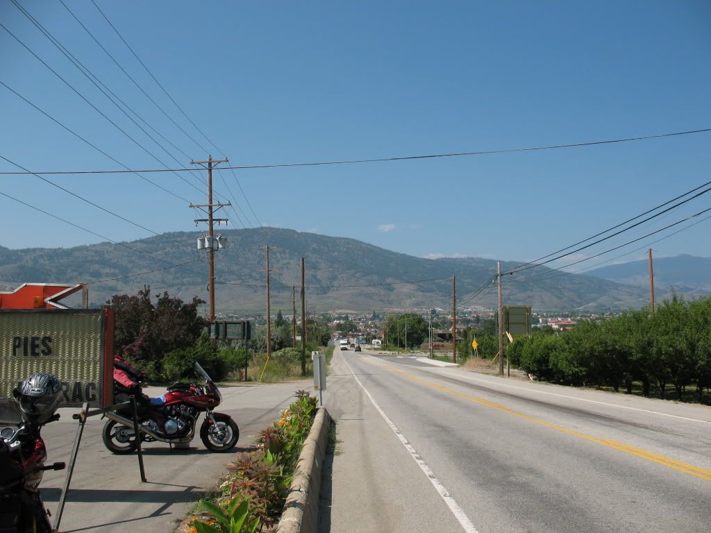
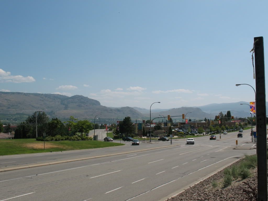
Eastern side before entering the town of Osoyoos.

Image
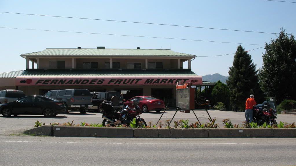
A fruit market located at the bottom of the hill on Hwy3 at the eastern side of town. BC cherries are a must have item when touring the country.

Image
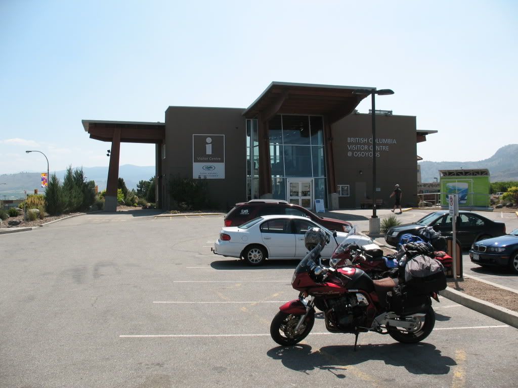
The northwestern side of town by the visitors centre.

Image
Bikes at the visitors centre in Osoyoos.

Image
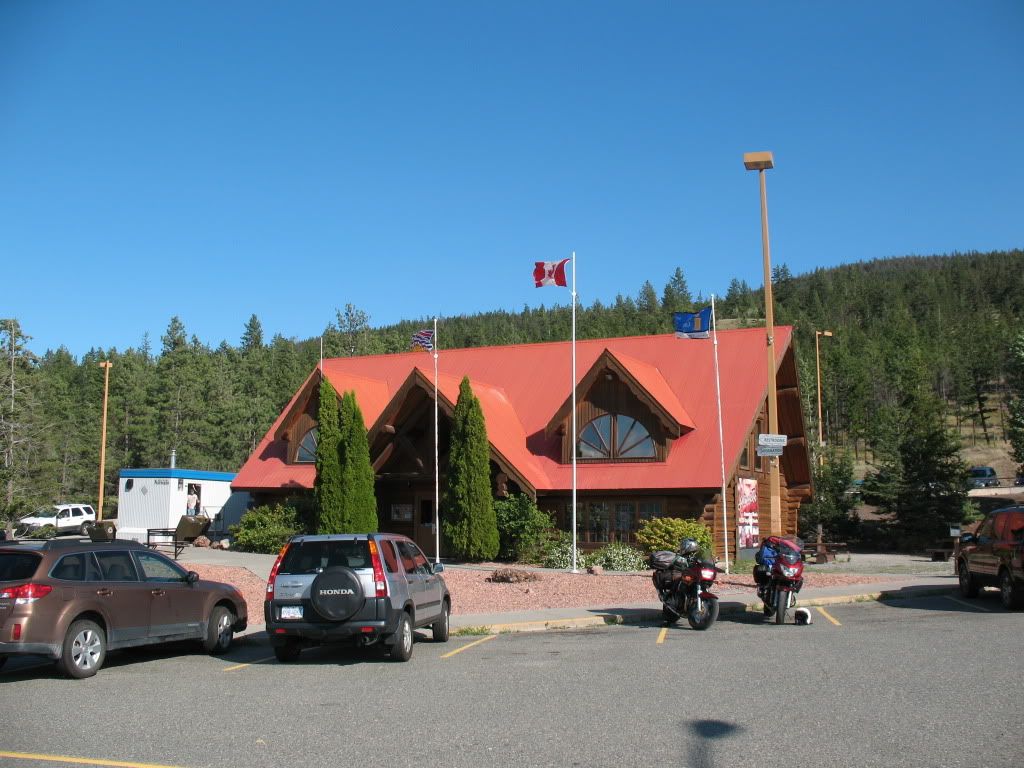
Visitors centre near the town of Merritt.

Image
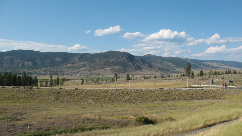
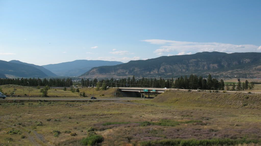
A view of the highway junction and Merritt from the visitors centre.

Image
Another view over to Merritt seen in the distance.

Image
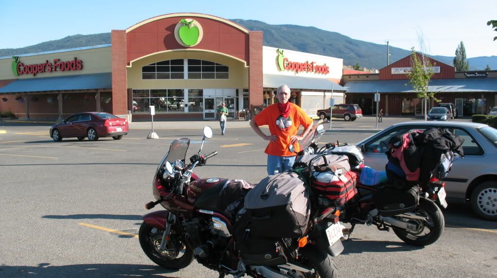
Getting some items for dinner while in Merritt, Uncle Rick does not look very happy at all. It was about 35c in the afternoon when this photo was taken.

Image
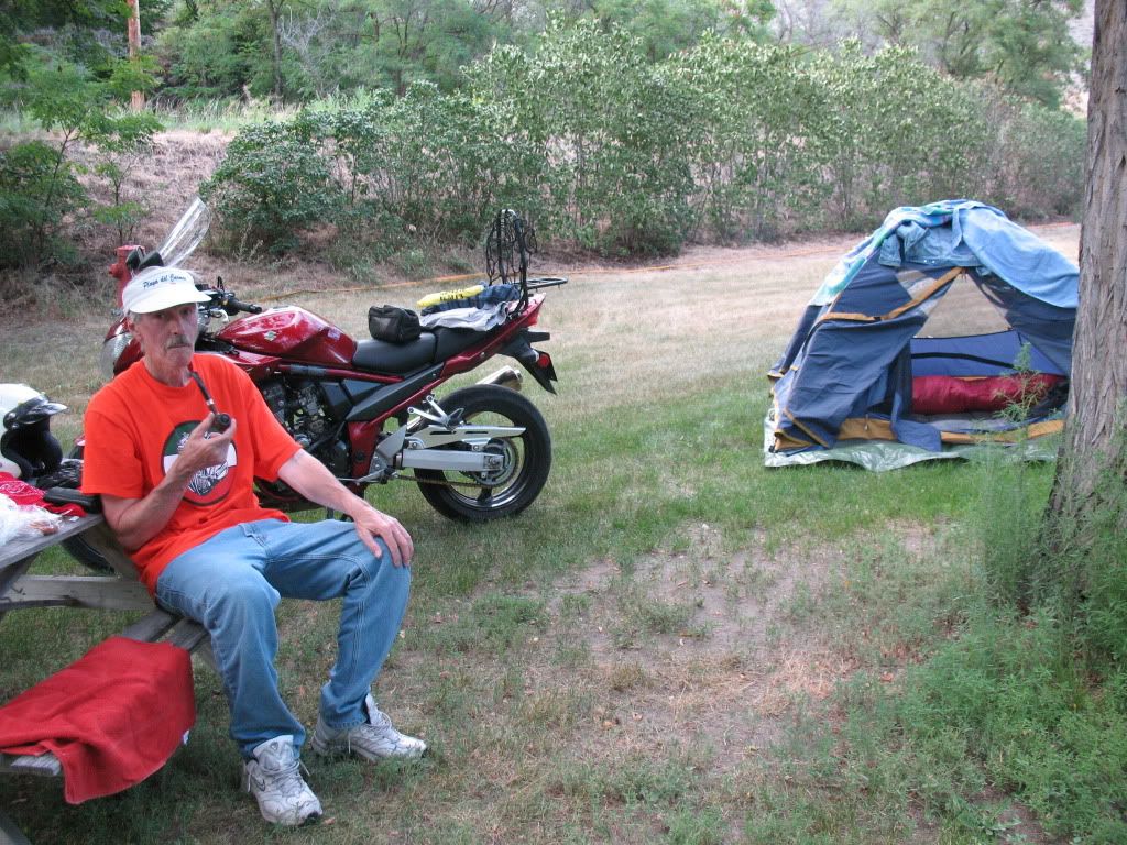
Camped out in Spences Bridge at the Acadia campground, hes still not happy.

Image
After getting a shower and a clean up and dinner its time to relax. Ricks smiling again so thats good news.

Image
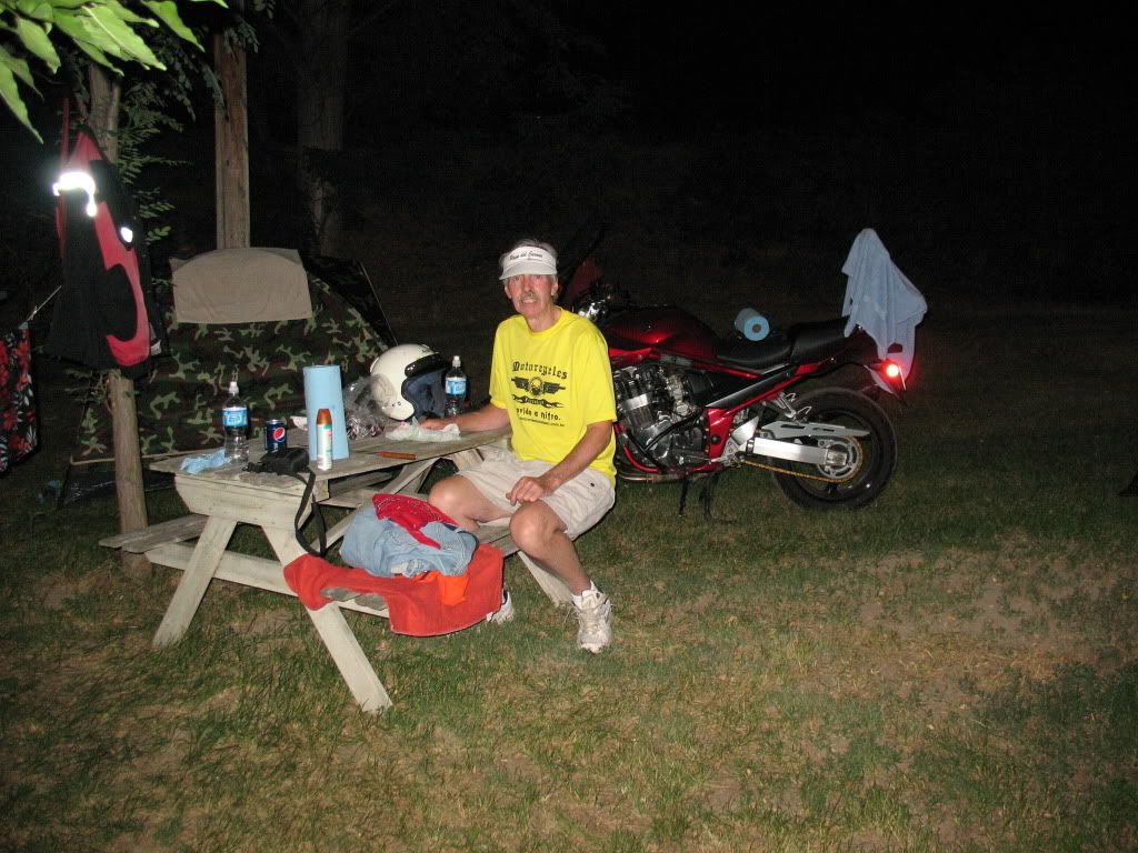
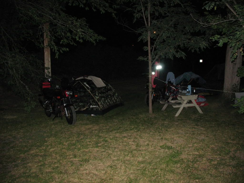
As midnight approaches its time for some sleep.

Re: Annual trip into BC for 2012

Posted: Fri Aug 31, 2012 8:57 pm
by Suzsmokeyallan
Ah day four is here and its time to move out. We are going to ride from Spences bridge to Vancouver and take the ferry onto the island. Once there on the island in Nanaimo its onto Port Alberni and finally the Pacific coast town of Ucluelet.
This days route is fairly long and an all day event which means we wont get to Ucluelet until late in the evening.
We went down the canyon nonstop since I already had photos taken there in 2010 so none were needed for this trip.
Heres what did get taken in photos on these two days.

Image
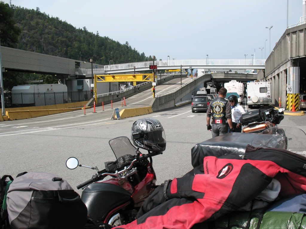
At the Horseshoe Bay ferry terminal.

Image
Bikes go to the front of the line which is nice.

Image
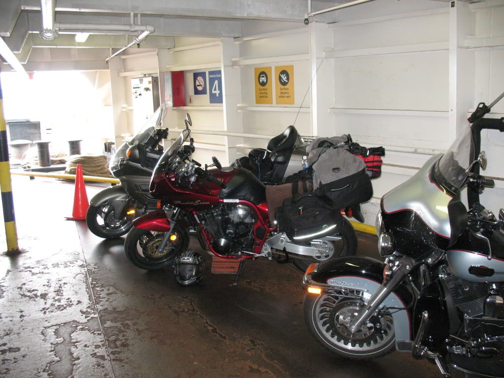
Bandit on the ferry.

Image
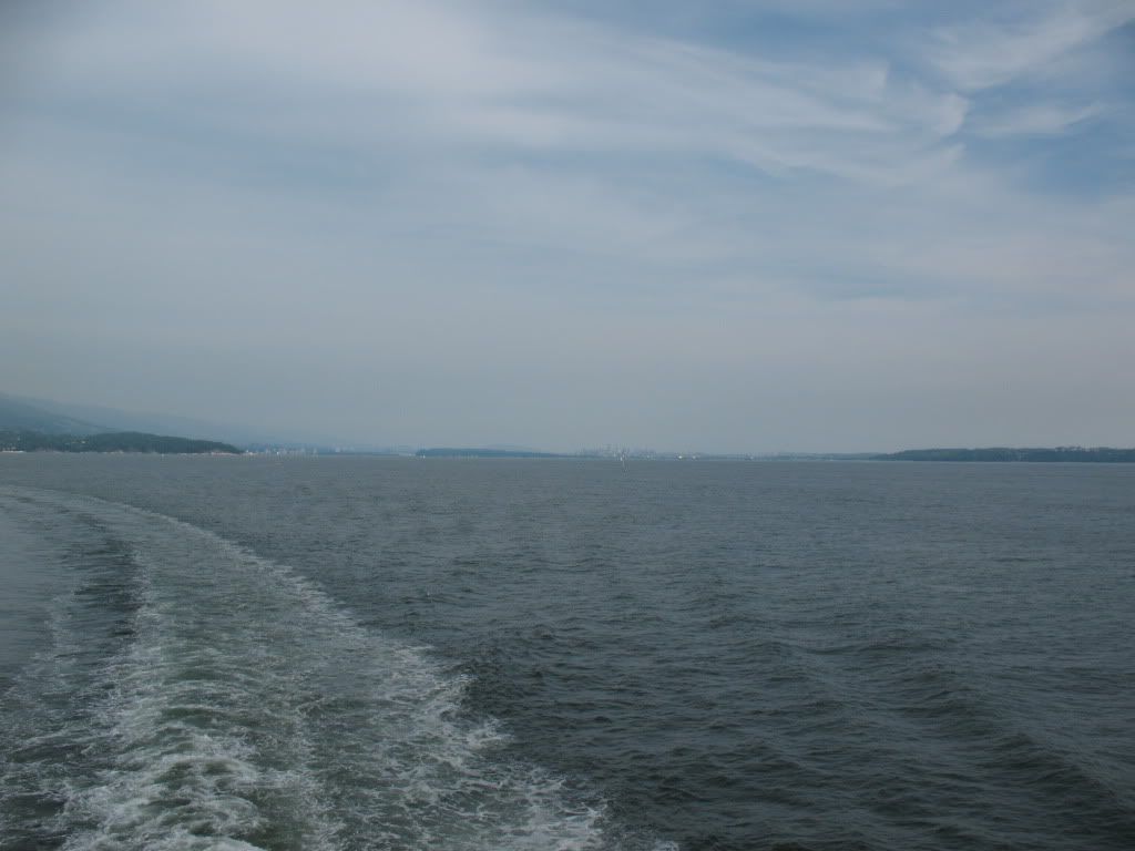
Leaving the Vancouver skyline behind.

Image
Stopping just outside the western edge of Port Alberni for a brief moment.

Image
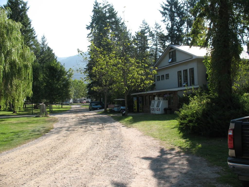
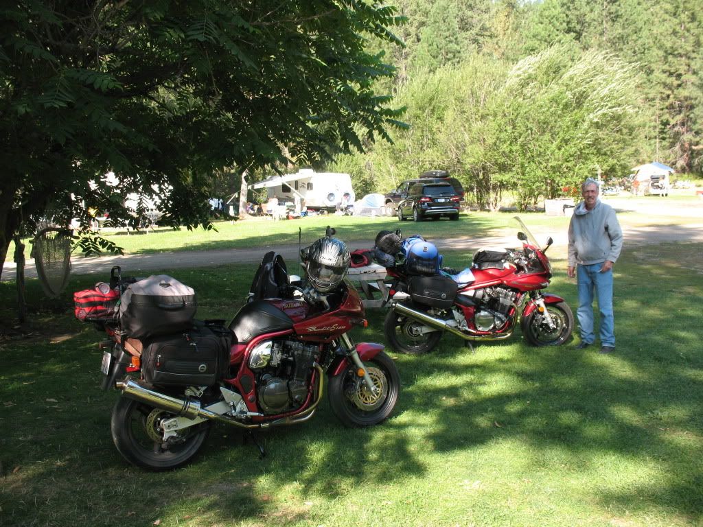
Campground spot in Ucluelet campround, we've stayed here before and its very decent.

Image
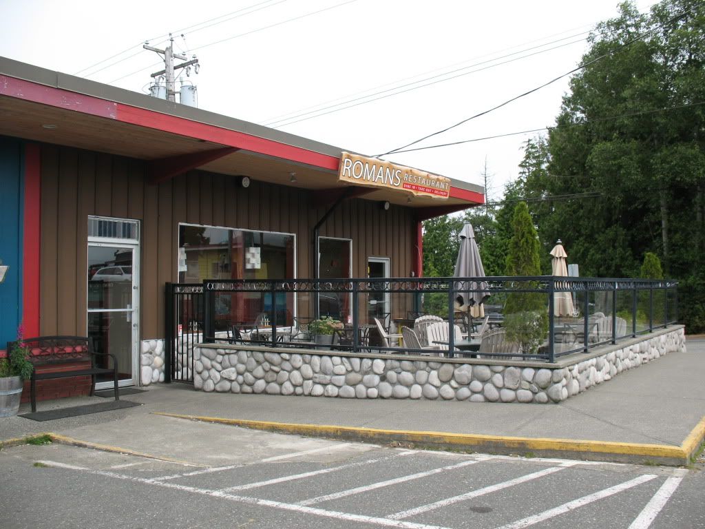
This is "the spot" in town for food so on our first evening we went for dinner here as we often do on our visits.

Image
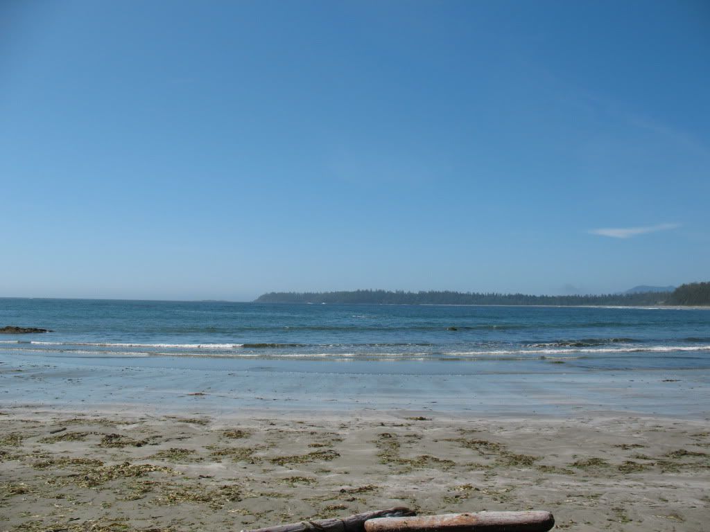
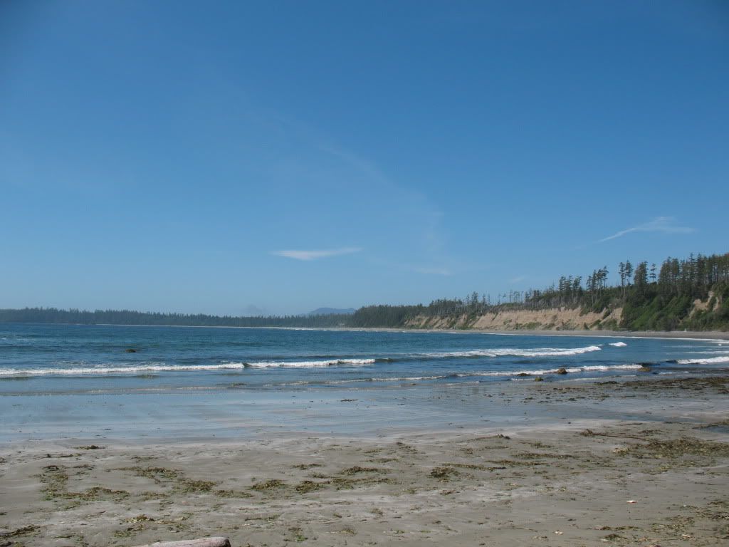
Florencia Bay where on the second day we waited until the fog burned off after noon and were able to check out the beach. This area is only accessible by a path through a forest leading from a campground parking lot. Not many people know about this place and how to access it, so the foot traffic is minimal.

Image
Another photo of the bay

Image
And yet another view.

Image
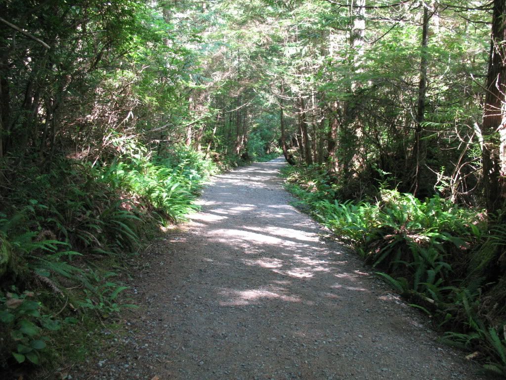
The path to Grandmas house,,, actually its about a mile of this to get to the beach.

Image
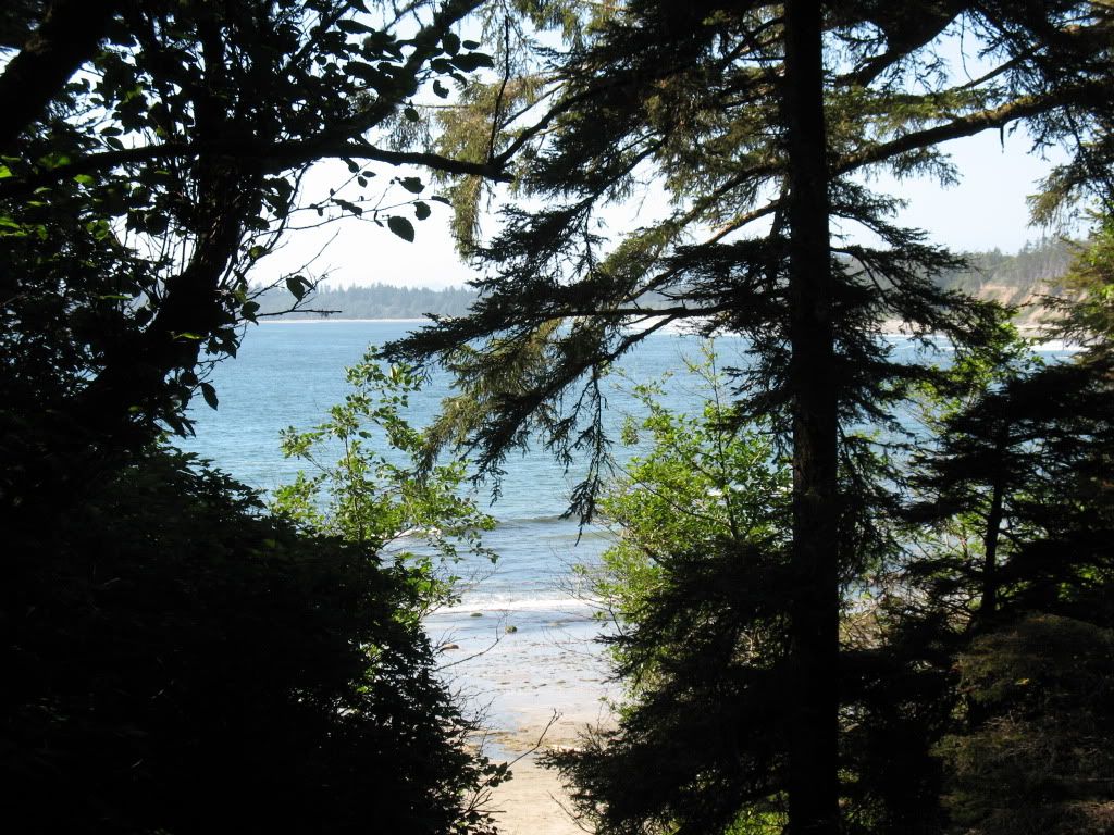
You arrive on the cliff top and see this view of the bay.

Image
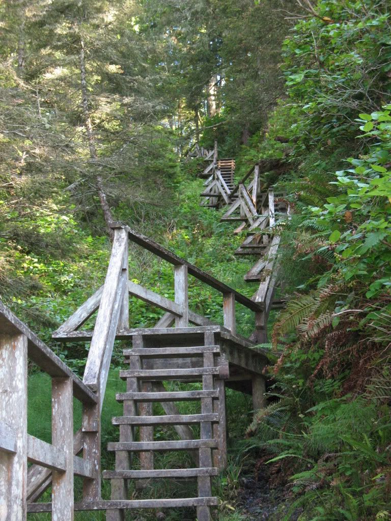
Some of the stairs leading down to the beach from the cliff top, fitness indeed helps with these sort of issues.

Image
The Pacific ocean, over there is Japan and if you squint really well you might be able to see it.

Image
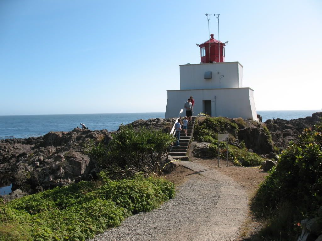
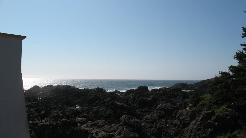
Amphitrite lighthouse, the two large fog horns mounted on the front of this building never get tired, they can make more noise than anyone can stand.

Image
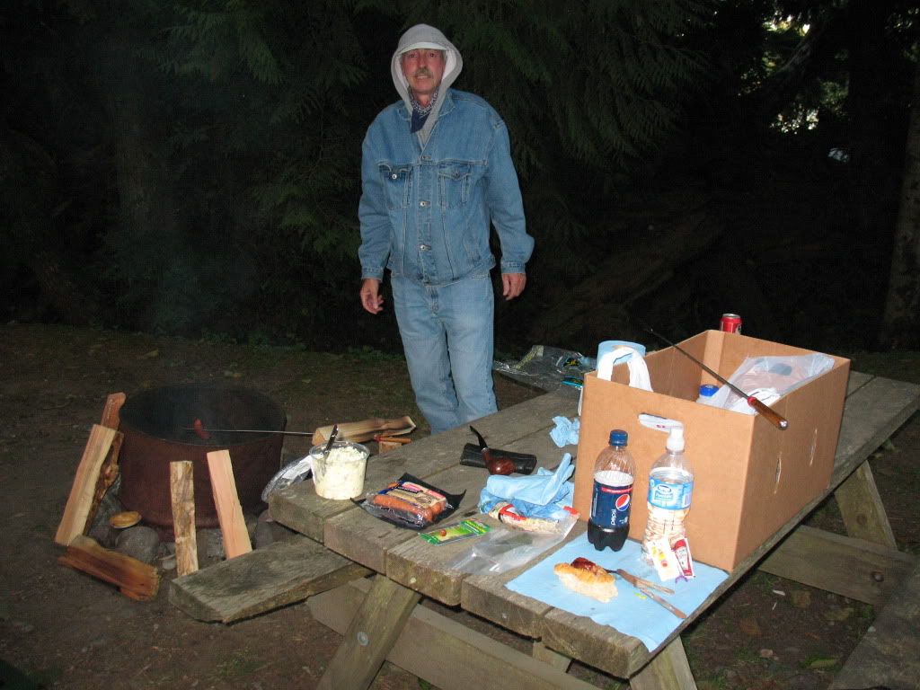
After buying some items in town at the end of our second day we had a dinner of cooked smokies, veggie salad and potato salad. Its amazing how simple food can taste really great when you are hungry.


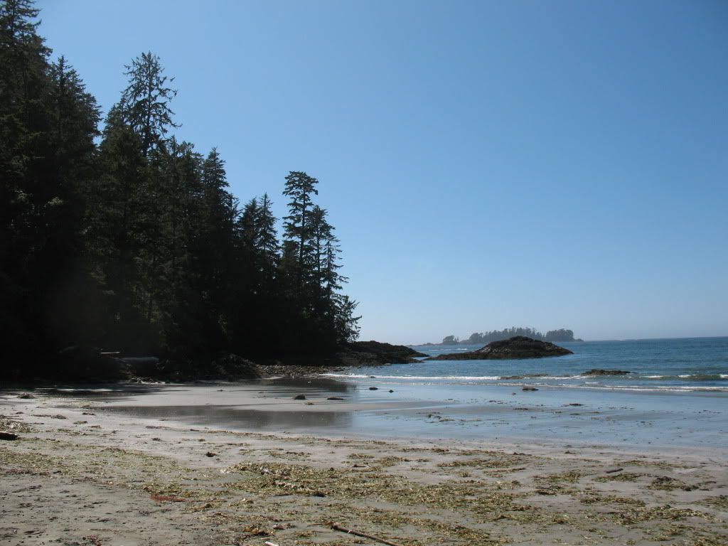
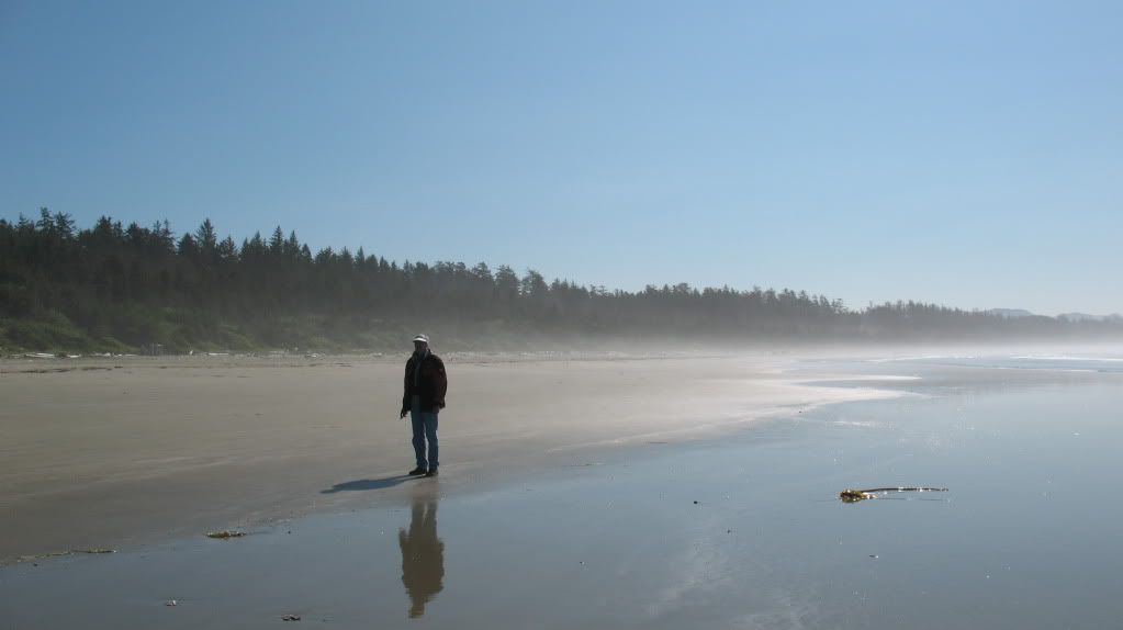
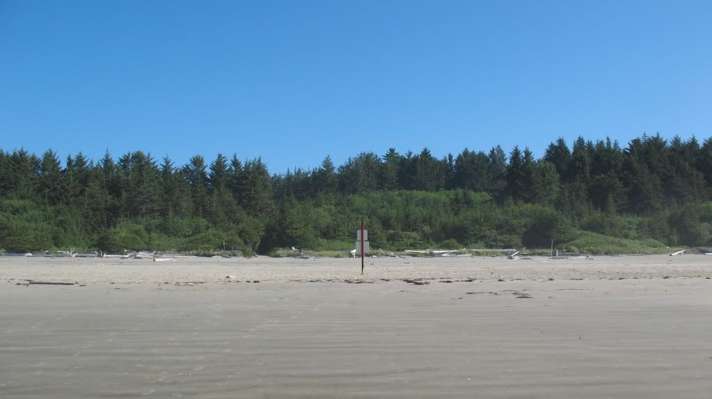
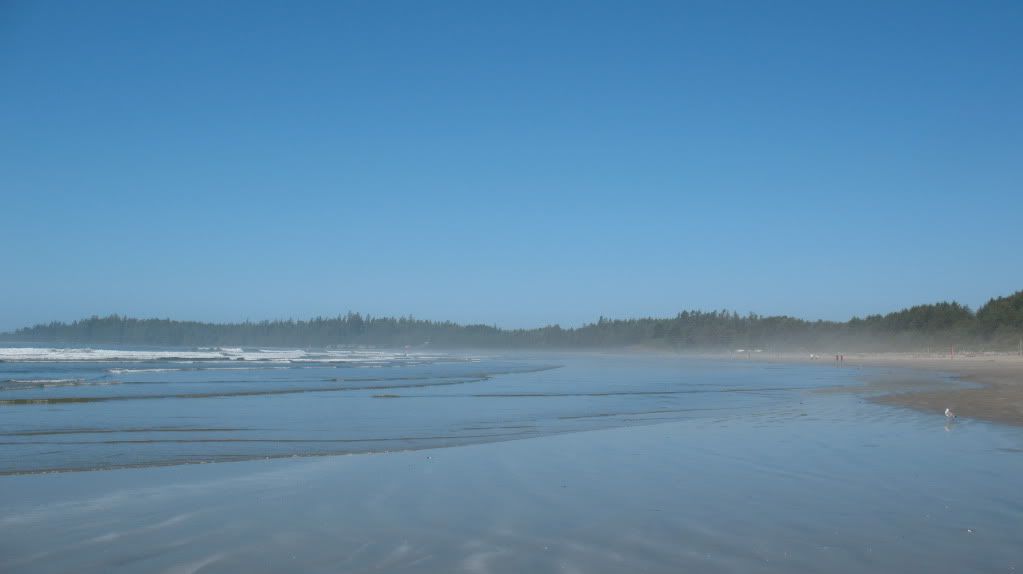
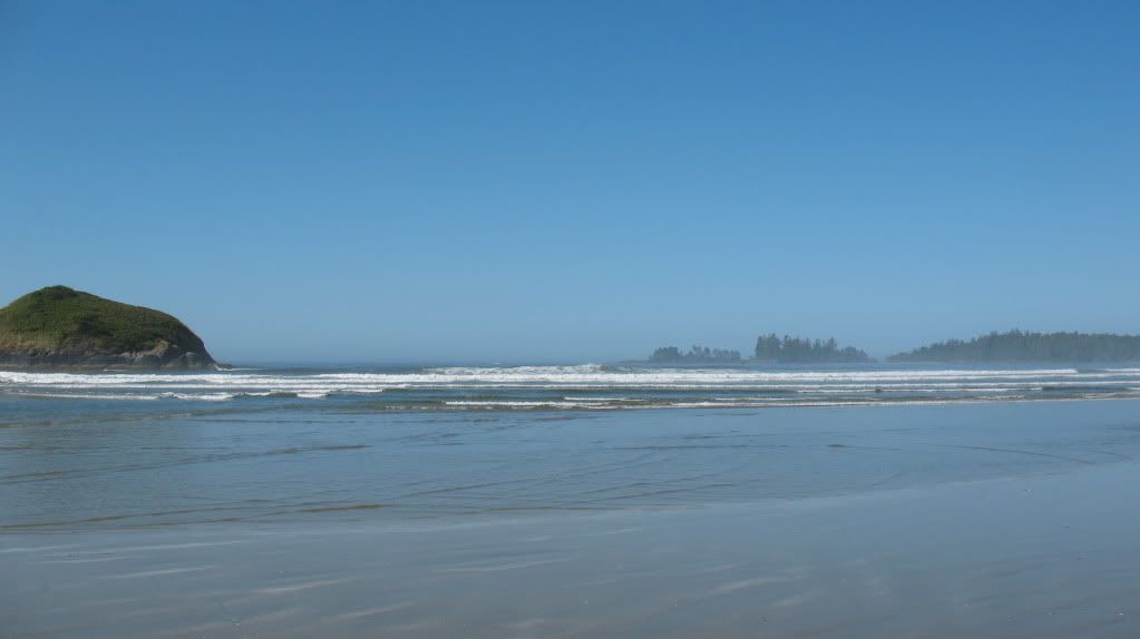
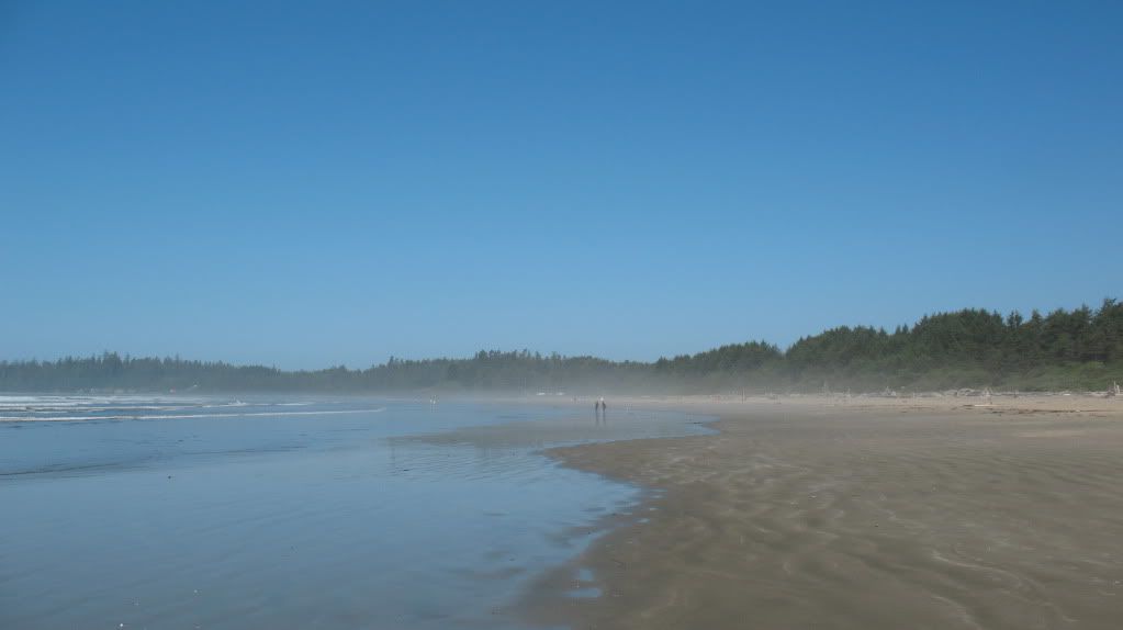
These five photos shown below are of the world famous Long Beach, its absolutely stunning to be here and see this place unshrouded from the fog that lives here almost constantly. Even so, the mist seen in the photos is not sea spray but fog still lingering on the beach since its early morning and the suns heat to the land has not driven it off shore yet.

Image

Image

Image

Image

Image

So, after three years of summer tours at trying to see this place I can now say I'm in awe of the beach, its beauty and size. Sadly this was also the turning point of the 2012 tour and now we started heading back towards Calgary.

Re: Annual trip into BC for 2012

Posted: Sat Sep 01, 2012 12:26 pm
by Suzsmokeyallan
For the return part of the journey we had some timing issues. After a brief stop in Port Alberni for some lunch, when we did return to Nanaimo we had just missed the ferry and the next one wasn't scheduled for two hours.
Talk of a supplemental one being added was discussed but never happened, so when we did get onto the mainland it was getting late in the evening.
This meant our ride on the Sea to Sky Highway to Pemberton would be at night towards the last hour or so.
Highway use in the late evening up in the mountains means Bears, Elk, Coyotes and of course deer will be out in force.

Image
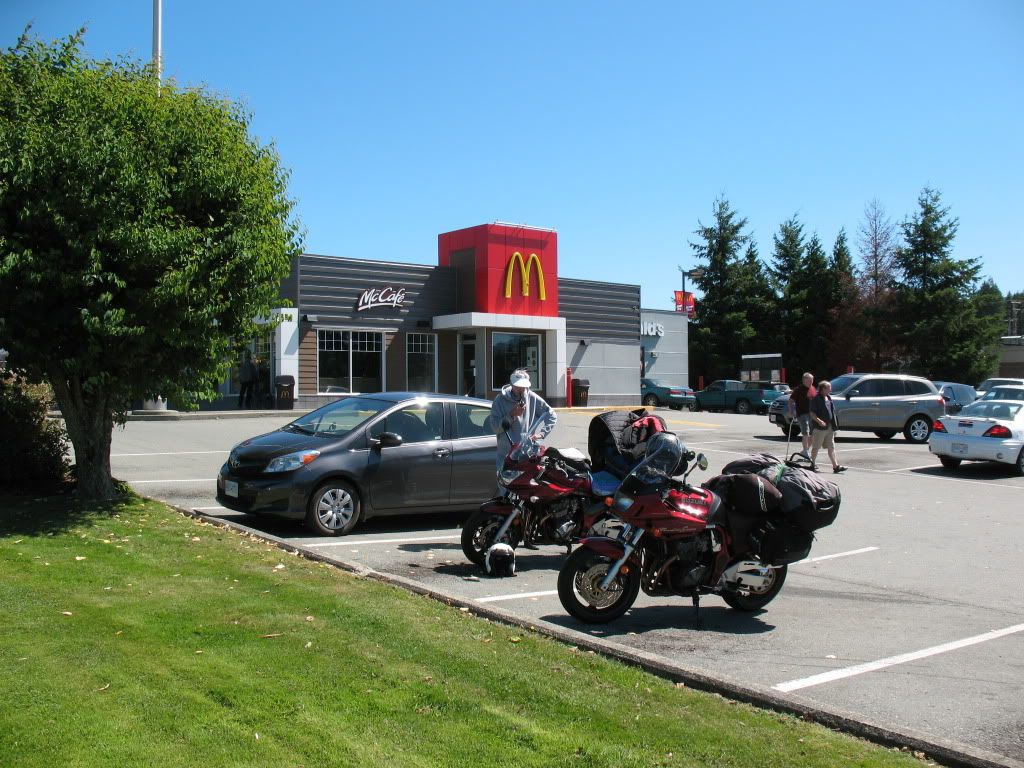
Micky Ds in Port Alberni, Rick decides to eat here and I'm impressed by this outlets internal decor and how they have scaled up the dining experience.
Trust me on this since I don't care for their products one bit. Rick looks at his bike in a pondering moment.

Image
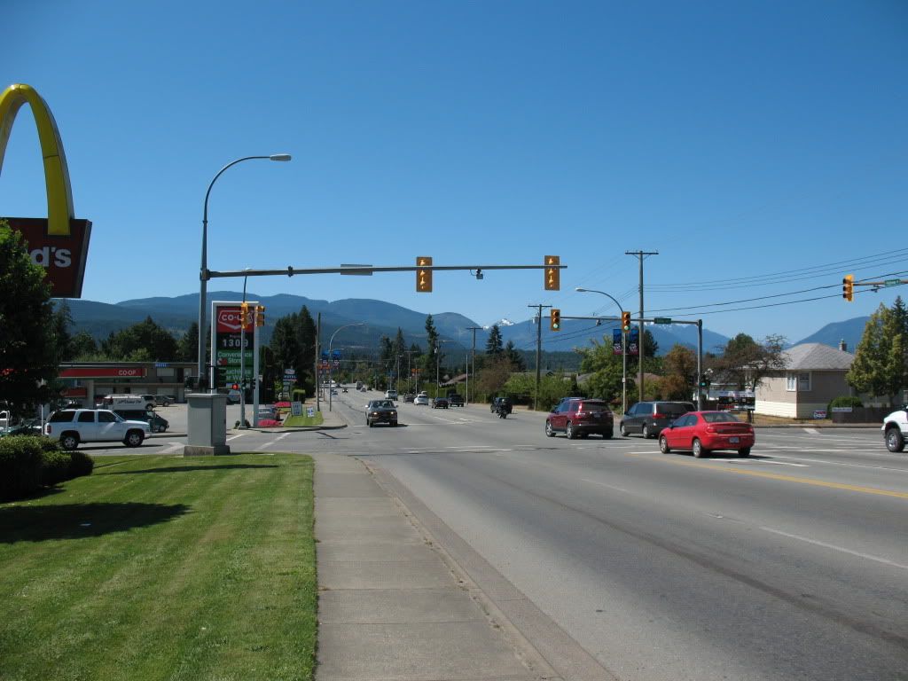
Street scene in Port Alberni on Hwy 4 looking westwards.

Image
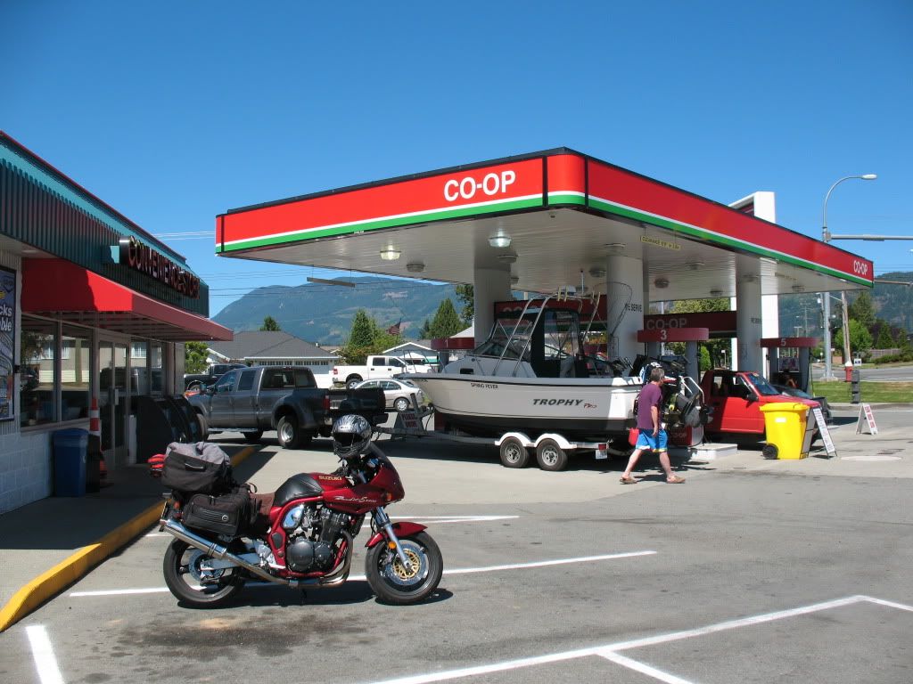
Over at the Co-Op station across the street from McDonalds I get some supplies while Rick goes for tobacco in the town centre.

Image
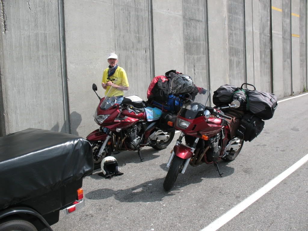
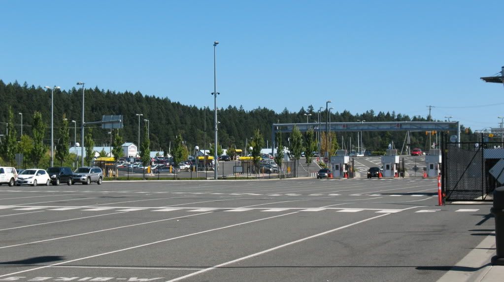
At first we literally have the whole terminals parking lot to ourselves.

Image
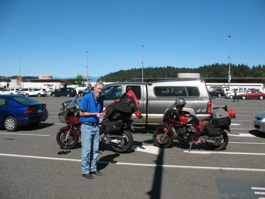
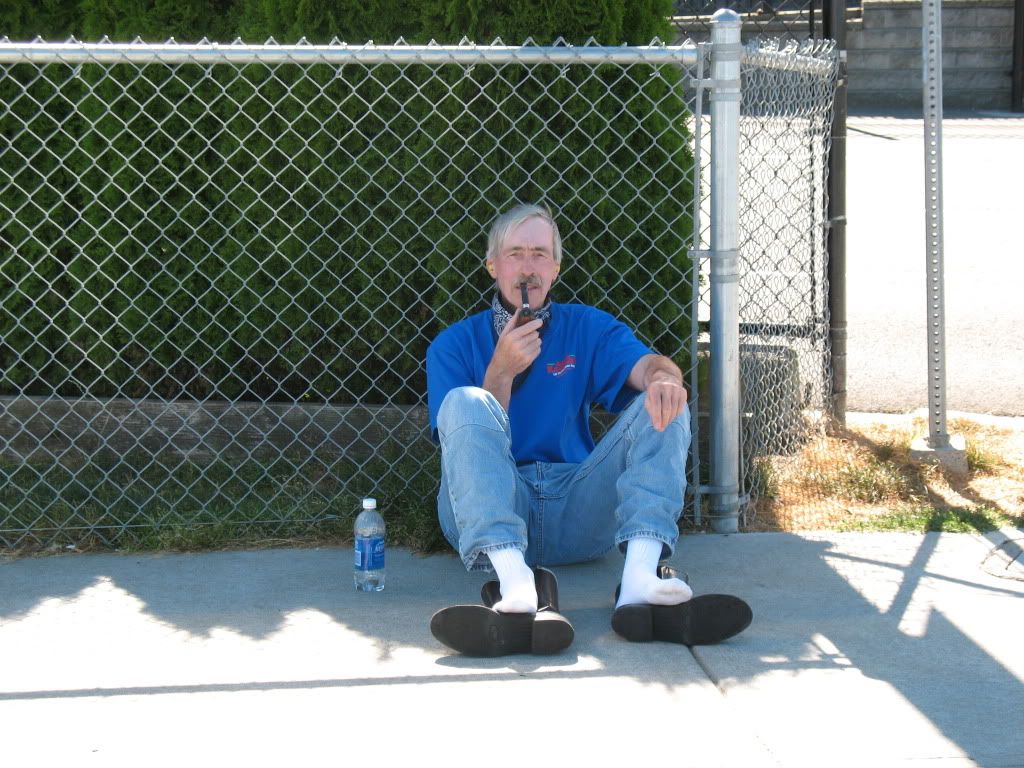
I suspect this to be the facial reaction of a man whos been told you have to wait for two hours.

Image
Oh well, its time to chill out while we wait.

Image
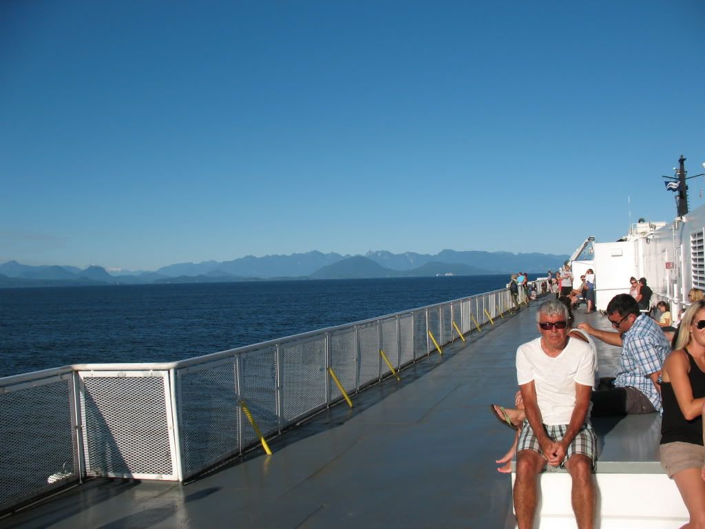
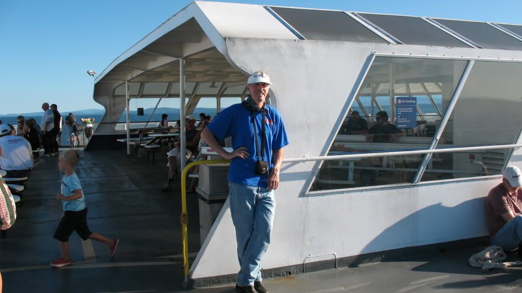
Top deck on the "Queen of Oak Bay", Rick was not amused when I told him this same ferry lost a shaft coupling pin and subsequently demolished most of the marina and a lot of yachts when arriving at Horseshoe Bay ferry landing some years ago.

Image
Rick relaxing on the top deck.

Image
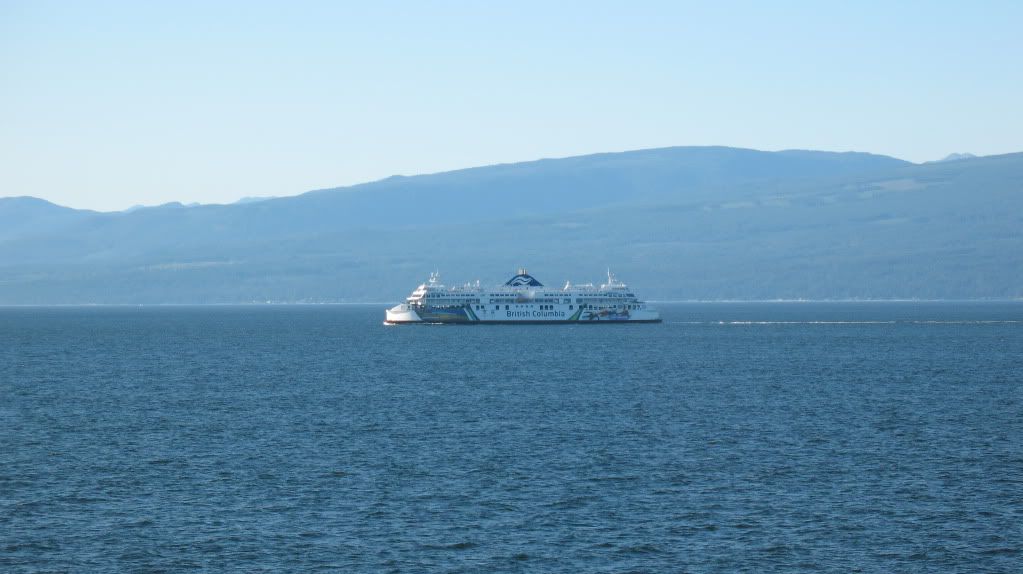
One of the newer "Coastal" series ferries going the other direction. These recently built ferries are very well equipped compared to the older ones such as the "Queens" which were built in the 60s and refitted too many times to count.

Image
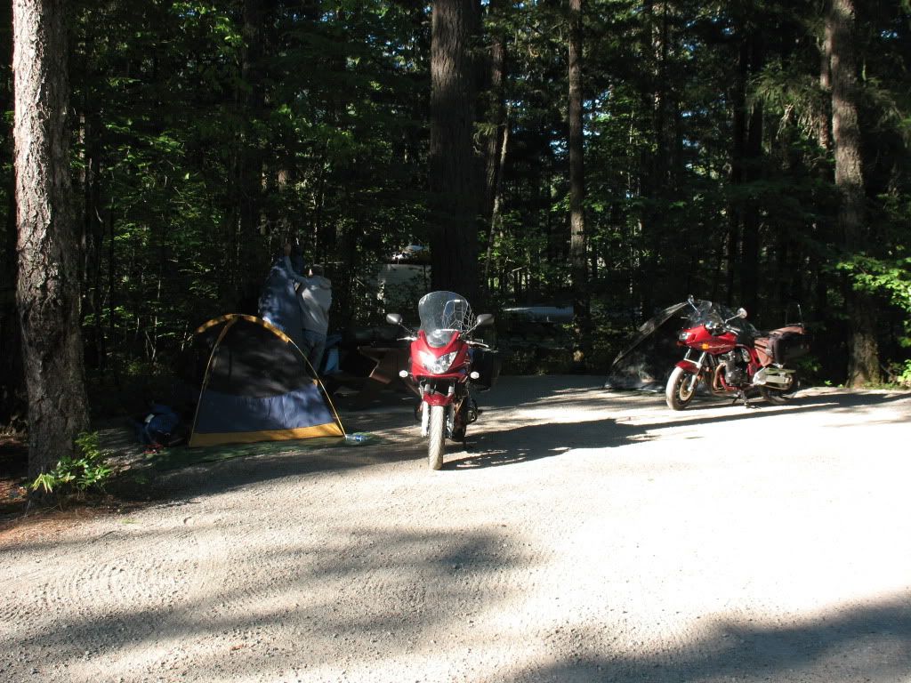
Campground morning scene in Nairn Falls just outside of Pemberton.

Re: Annual trip into BC for 2012

Posted: Sat Sep 01, 2012 3:19 pm
by Suzsmokeyallan
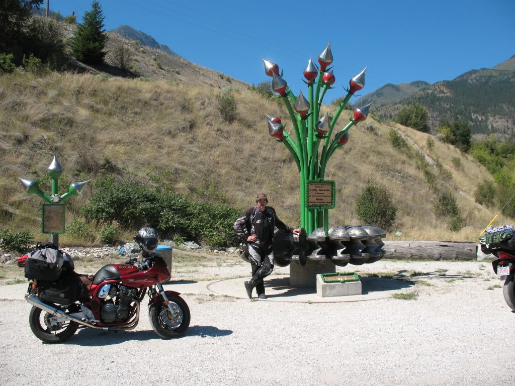
Another day on the road and we pack up from Nairn falls and head off to Pemberton for breakfast in town. Once thats completed its off to the Duffey Lake road and the trek into Lillooet via the Seton Lake area. After a refuel in Lillooet and a stop at the Pelton wheel art statue in town, its a sweet ride on the remaining part of the Duffey Lake Road (Hwy 99) and into Cache Creek.
Cache Creek is a balmy 33C or thereabouts so we soon leave and we make our way to Savona, then into Kamloops for a campground spot somewhere in the town suburbs.
We got no sleep as the freight trains roared through all night, if it wasn't the CN it was the CP going at it at least one every 45 minutes. Then around 6.00AM they stopped, their schedule is obviously not anyone elses. Rick and I were like zombies for the rest of the day. I swear the ground shook slightly as they jumped me from sleep again and again, yeah they were that close.


Image
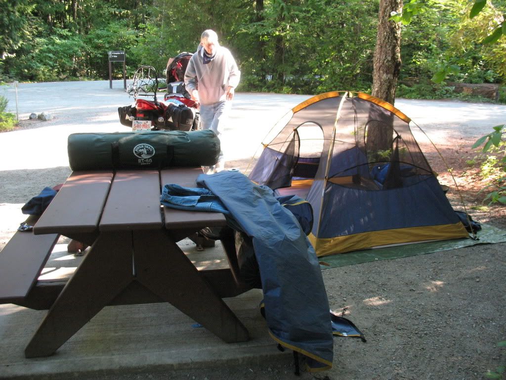
Early morning packing up in Nairn Falls campground.

Image
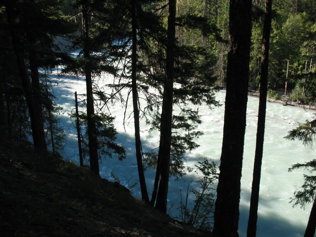
The river near to the falls.

Image
Street view in Pemberton, hmmm looks busy.

Image
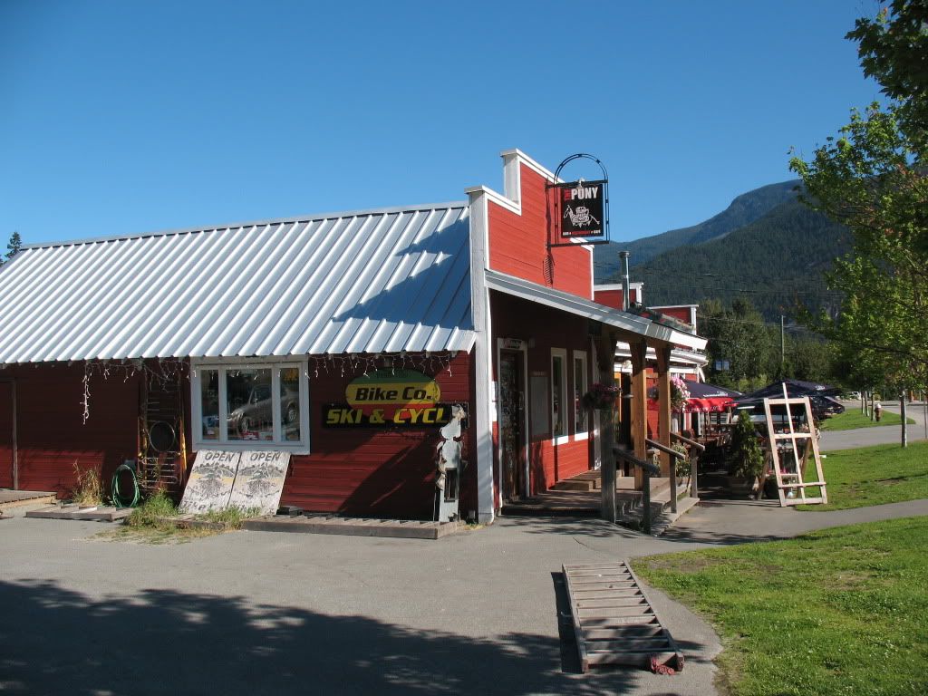
The Pony restaurant in town, quite decent food.

Image
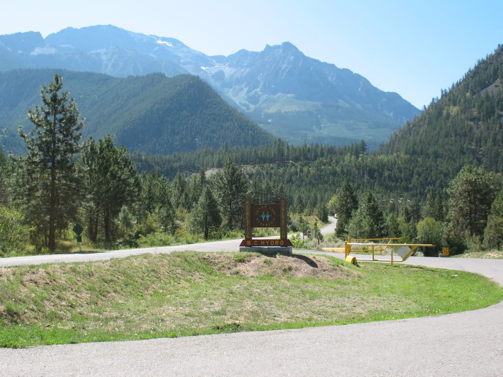
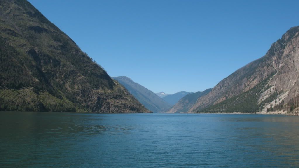
Seton Lake entrance off of Hwy 99.

Image
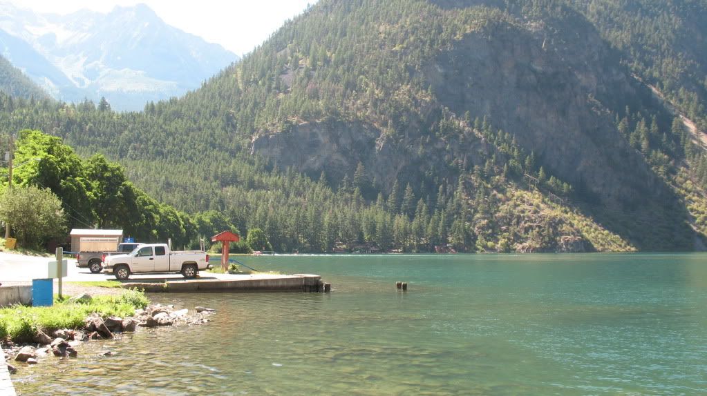
Seton Lake down at the jetty.

Image
Seton Lake.

Image
Pelton wheel art sculpture in Lillooet.

Image
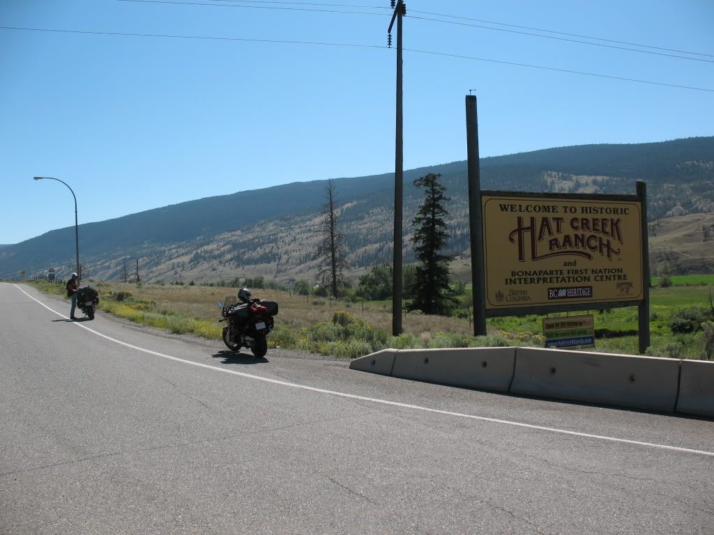
At the eastern junction of Hwy 99 by the Hat Creek historic ranch.

Image
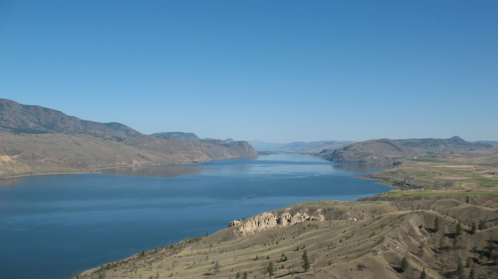
Kamloops lake taken from the viewpoint near Savona.

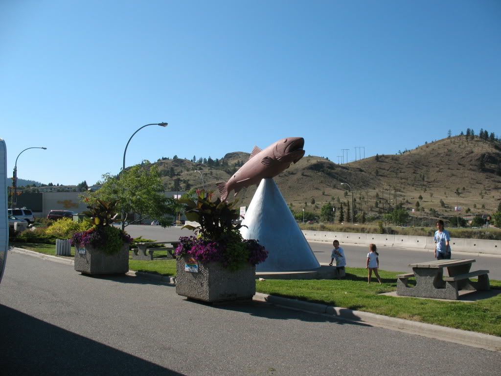
Image
Thats one really large pink salmon.

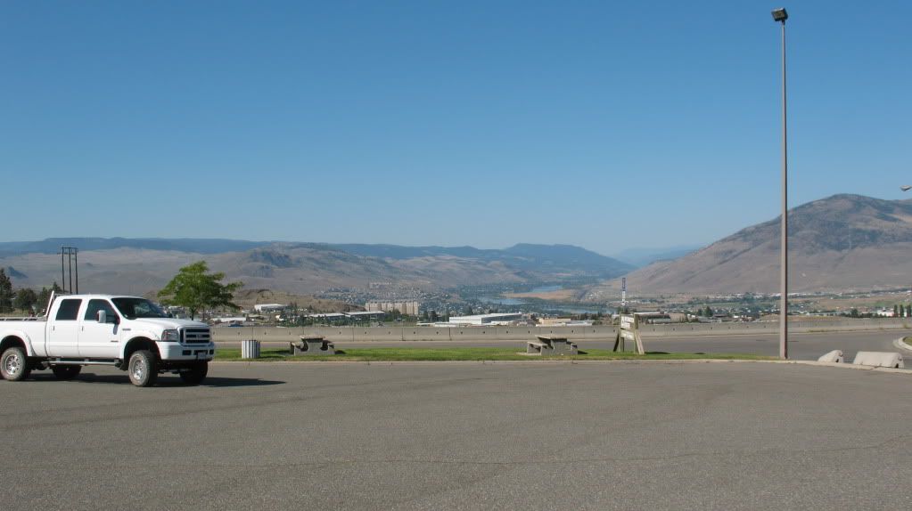
Image
View across the river to the northern side of Kamloops.

Image
Camping in Kamloops is fun, a freight train is never more than 1/2 mile away from anywhere so you get NO sleep. The line on the southern side of the river is just right behind those buildings seen there in the distance.

Re: Annual trip into BC for 2012

Posted: Sat Sep 01, 2012 10:58 pm
by Suzsmokeyallan
We are almost home to Calgary, just a few more miles and two more days, actually a good couple hundred more miles to be exact.
So after leaving Kamloops we are heading east on the trans Canada highway and pass many small towns along the way, but we always stop at Craigallachie.
Basically its the spot where the rails met in Canada when building the railroad across the country. Today its just a spot with a monument, but back in the day it was a place of great importance to all who worked on this engineering marvel.
Our next stop will be across the continental divide and into the town of Golden and a camp for the last night of our tour.
We picked a place out of town that was next to a paragliding and hang gliding field, it was quiet and peaceful once we killed all the mosquitoes invading our area.
In the evening we used practically a whole can of OFF, it went around and on everything but we still missed a few, honestly we were practically invaded.
If you just sprayed it anywhere you would kill a few dozen, they were that thick, and I kid you not on this.
Anyways after a decent dinner in town and a short ride back to the campground we dropped off instantly given the previous nights lack of sleep in Kamloops, that was a horror of epic proportions.

All said and done it was another fun filled tour and I enjoyed it as always and Rick did great with those extra days on the road.
We made it back safe and sound to see another BC summer tour ride under our belts.
So who wants to go for 2013?

Image
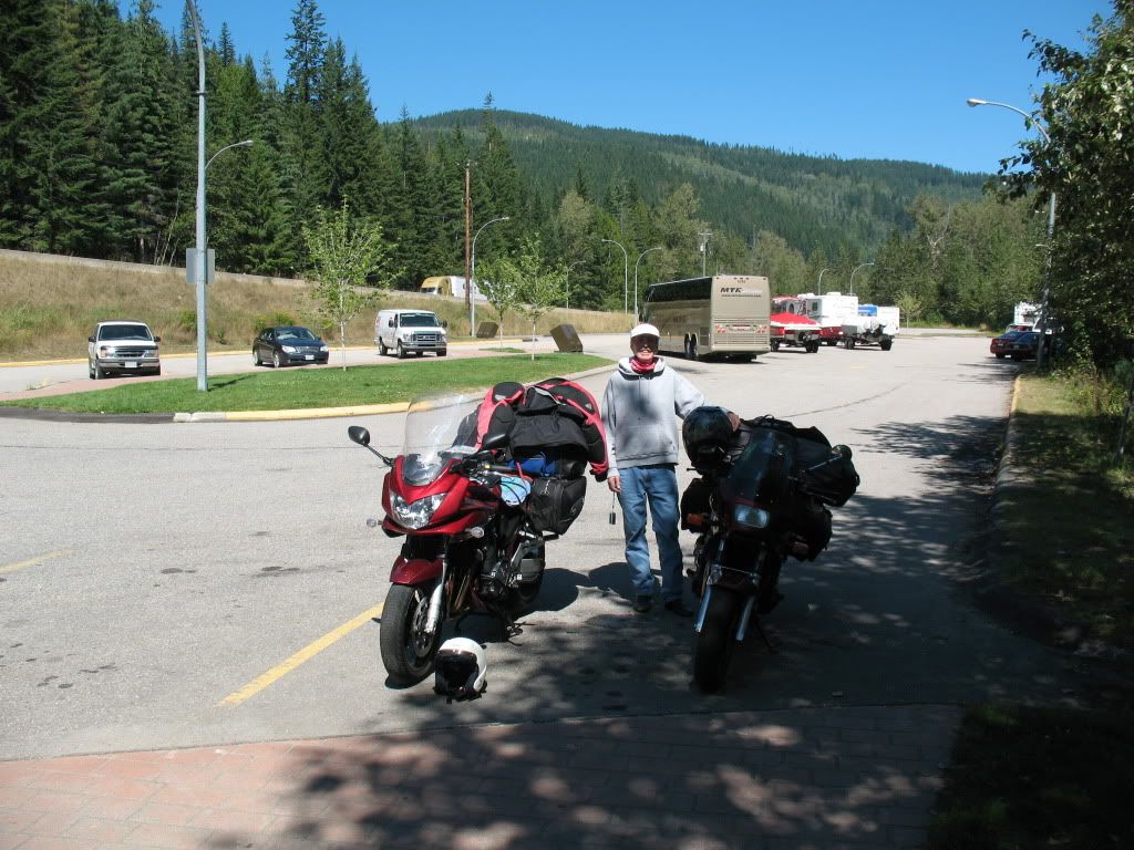
Parking lot at Craigallachie

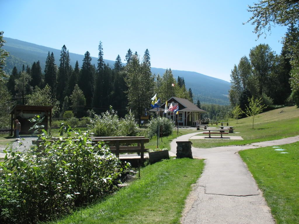
Image
Provincial flags flying at the monuments location

Image
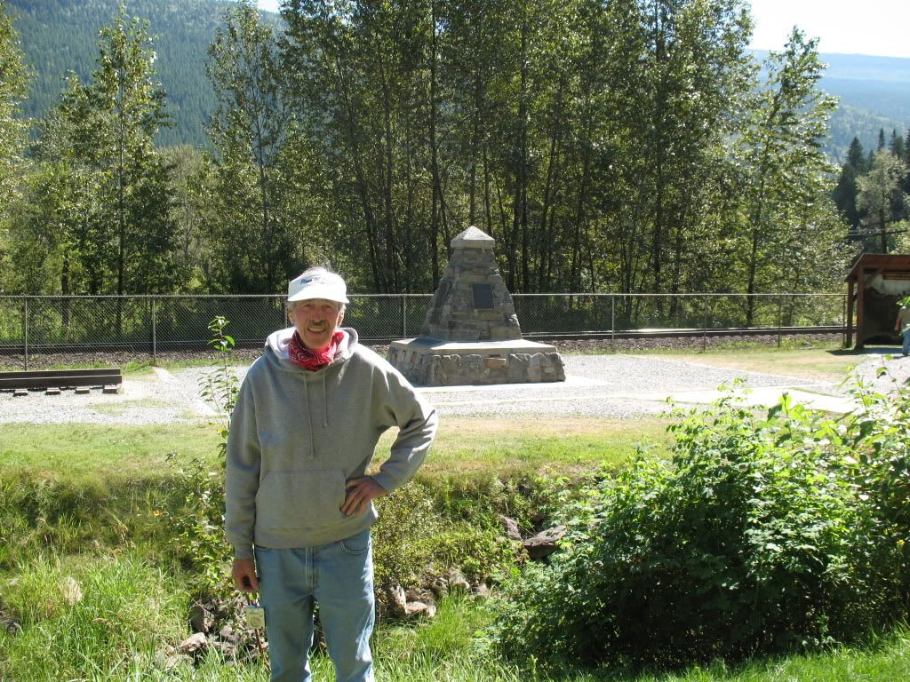
The monument and Rick

Image
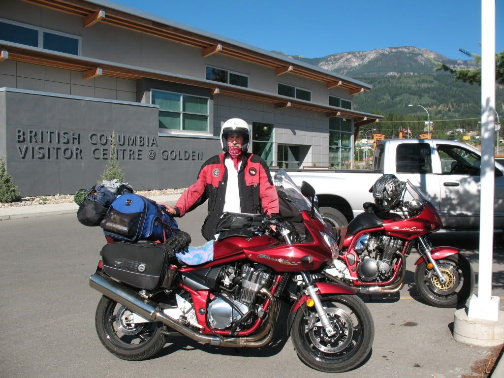
We check out the new visitors centre in Golden

Image
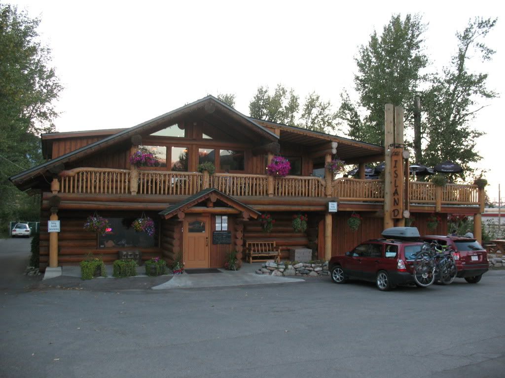
The Island restaurant in Golden, it was our last tour night and a decent meal.

Image
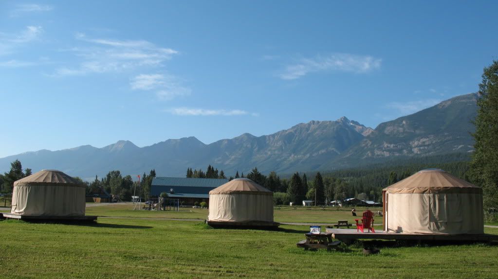
Modern style fabric yurts in the recreation park, mozzie proof too no doubt.

Image
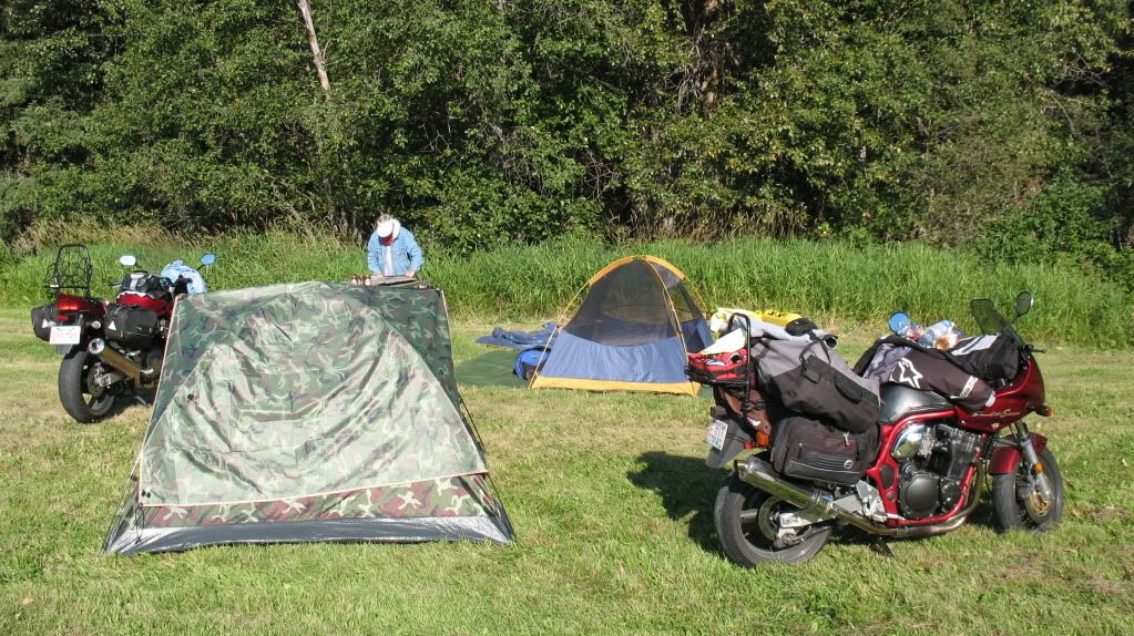
Our campsite in the park on the last morning of the tour.

Image
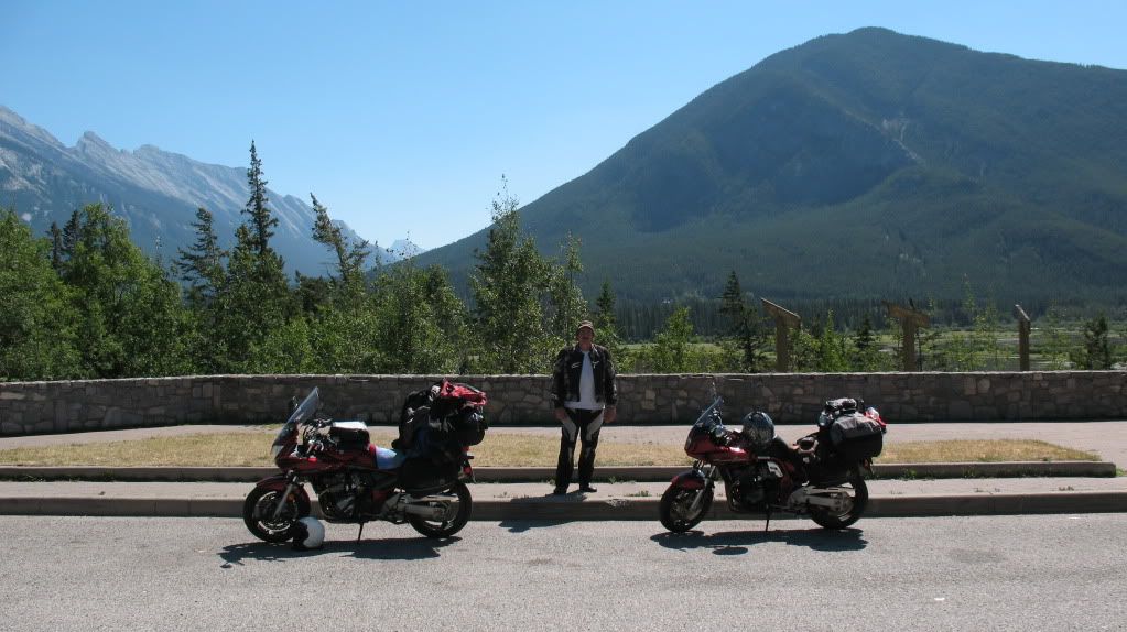
A stop outside Banff on the Trans Canada Highway with a mountain backdrop as usual.

Re: Annual trip into BC for 2012
Posted: Sun Sep 02, 2012 6:20 pm
by Suzukidave
Wow !!! as with every yr great story and pictures .. what a adventure :up:

Re: Annual trip into BC for 2012
Posted: Sun Sep 02, 2012 6:29 pm
by Suzsmokeyallan
Thanks for your comment Dave, I've been going for the last five years and it never gets old on these BC tours. Its a pity some guys from the board don't live closer to BC to come for the tour.
Re: Annual trip into BC for 2012

Posted: Wed Sep 05, 2012 12:07 am
by Craig380
Fantastic photos, the tour sounds amazing. What stunning scenery.

What's coming across to me in the pics is the sheer clarity of the skies, the weather gods truly were with you :up:

Re: Annual trip into BC for 2012

Posted: Wed Sep 05, 2012 11:10 am
by Suzsmokeyallan
This August they didn't have skies that were all that clear in the interior of BC due to forest fires.
On a good clear day you can easily see for 30 miles before it starts to gather a horizon haze.
Compared to a place located in the Caribbean where you think it should be just as clear its not. Salt laden air and a humid atmosphere means clear visibility never gets above eleven miles.